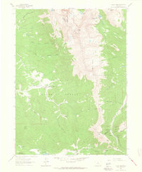
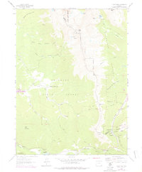
1962 Map of Clark Peak
USGS Topo · Published 1964About this map
Bockman Lumber Camp and Willey Lumber Camp anchor the timber-harvesting landscape of this mountainous region within the Colorado State Forest. The early 1960s terrain is marked by the complex hydraulics of the Michigan Ditch and the Michigan River, illustrating the intensive management of water resources across the Continental Divide. Elevations reach their peak at Clark Peak, while the high-altitude Cameron Pass Campground and the State Forest Headquarters suggest the area's dual role as a site for both state industry and growing recreational use.
Find a feature on this map
35 named features on this map. Tap any name to fly to it.
Don’t see what you’re looking for? This feature index may not catch every label — zoom into the map to look around manually.
Map Details
Editions of this 1962 Clark Peak Map
6 editions found
Other maps of this area

1915 · Longs Peak
USGS Topo · 1:125,000

1916 · Home
USGS Topo · 1:125,000

1919 · Rocky Mountain National Park
USGS Topo · 1:125,000

1920 · Home
USGS Topo · 1:125,000

1954 · Greeley
USGS Topo · 1:250,000

1954 · Craig
USGS Topo · 1:250,000

1955 · Gould
USGS Topo · 1:24,000

1956 · Johnny Moore Mountain
USGS Topo · 1:24,000

1956 · Jack Creek Ranch
USGS Topo · 1:24,000

1956 · Rand
USGS Topo · 1:62,500