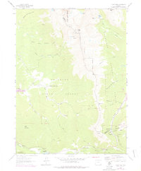
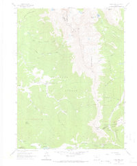
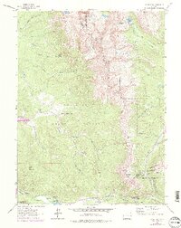
1962 Map of Clark Peak
USGS Topo · Published 1978About this map
The high alpine timber and drainage basins of the Medicine Bow Mountains define this landscape, recorded during a 1962 field survey with revisions added in the mid-1970s. Industrial activity in the Colorado State Forest is prominent, centered around the Bockman Lumber Camp and Willey Lumber Camp. These sites, along with the State Forest Headquarters and Camp Pennock, indicate a region managed for both resource extraction and conservation during the mid-twentieth century.
Find a feature on this map
47 named features on this map. Tap any name to fly to it.
Don’t see what you’re looking for? This feature index may not catch every label — zoom into the map to look around manually.
Map Details
Editions of this 1962 Clark Peak Map
6 editions found
Other maps of this area

1915 · Longs Peak
USGS Topo · 1:125,000

1916 · Home
USGS Topo · 1:125,000

1919 · Rocky Mountain National Park
USGS Topo · 1:125,000

1920 · Home
USGS Topo · 1:125,000

1954 · Greeley
USGS Topo · 1:250,000

1954 · Craig
USGS Topo · 1:250,000

1955 · Gould
USGS Topo · 1:24,000

1956 · Johnny Moore Mountain
USGS Topo · 1:24,000

1956 · Jack Creek Ranch
USGS Topo · 1:24,000

1956 · Rand
USGS Topo · 1:62,500