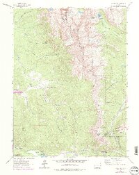
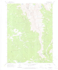
1962 Map of Clark Peak
USGS Topo · Published 1978About this map
The high-country timber and water resources of the Front Range dominate this mid-century survey, specifically where the Larimer and Jackson County line traverses the dramatic ridgeline between Clark Peak and the Diamond Peaks. In the early 1960s, the landscape shows a clear focus on forestry and resource management, with the Boekman Lumber Camp and Willey Lumber Camp situated along the headwaters of the Michigan River and its various forks. These camps, alongside the State Forest Headquarters near Ranger Lakes, point to an era of active timber harvest within the Colorado State Forest.
Find a feature on this map
33 named features on this map. Tap any name to fly to it.
Don’t see what you’re looking for? This feature index may not catch every label — zoom into the map to look around manually.
Map Details
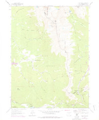
Editions of this 1962 Clark Peak Map
6 editions found
Other maps of this area

1915 · Longs Peak
USGS Topo · 1:125,000

1916 · Home
USGS Topo · 1:125,000

1919 · Rocky Mountain National Park
USGS Topo · 1:125,000

1920 · Home
USGS Topo · 1:125,000

1954 · Greeley
USGS Topo · 1:250,000

1954 · Craig
USGS Topo · 1:250,000

1955 · Gould
USGS Topo · 1:24,000

1956 · Johnny Moore Mountain
USGS Topo · 1:24,000

1956 · Jack Creek Ranch
USGS Topo · 1:24,000

1956 · Rand
USGS Topo · 1:62,500