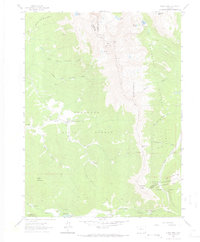
1962 Map of Clark Peak
USGS Topo · Published 1968About this map
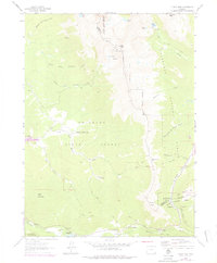
The Colorado State Forest and the meeting of several national forests define this mountain landscape in the early 1960s. High-altitude lumber operations are prominent across the terrain, evidenced by the Bockman Lumber Camp and Willey Lumber Camp. These sites, alongside isolated structures like Preachers Cabin and M-M Cabins, suggest a remote but active period of resource extraction and seasonal habitation. The topography is dominated by the massive ridge of Clark Peak and the steep slopes of the Diamond Peaks.
Find a feature on this map
39 named features on this map. Tap any name to fly to it.
Don’t see what you’re looking for? This feature index may not catch every label — zoom into the map to look around manually.
Map Details
Editions of this 1962 Clark Peak Map
6 editions found
Other maps of this area

1915 · Longs Peak
USGS Topo · 1:125,000

1916 · Home
USGS Topo · 1:125,000

1919 · Rocky Mountain National Park
USGS Topo · 1:125,000

1920 · Home
USGS Topo · 1:125,000

1954 · Greeley
USGS Topo · 1:250,000

1954 · Craig
USGS Topo · 1:250,000

1955 · Gould
USGS Topo · 1:24,000

1956 · Johnny Moore Mountain
USGS Topo · 1:24,000

1956 · Jack Creek Ranch
USGS Topo · 1:24,000

1956 · Rand
USGS Topo · 1:62,500