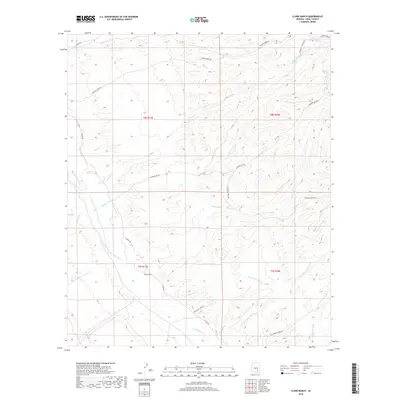
2018 Map of Clark Ranch
USGS Topo · Published 2018About this map
Clark Ranch and the riparian corridor of the San Pedro River define this corner of Pinal County, where the desert landscape is carved by a complex network of seasonal drainages. The influence of historic land use is visible in the network of ranch roads and specialized routes like Whitecliff Mine Rd and Tom Rhodes Ranch Rd, which navigate the broken terrain between Mulberry Wash and Gust James Wash. These names point to the area’s legacy of remote ranching and mineral exploration.
Find a feature on this map
24 named features on this map. Tap any name to fly to it.
Don’t see what you’re looking for? This feature index may not catch every label — zoom into the map to look around manually.
Map Details
Editions of this 2018 Clark Ranch Map
This is the sole edition of this map. No revisions or reprints were ever made.
Other maps of this area

1911 · Winkelman
USGS Topo · 1:125,000

1913 · Winkelman
USGS Topo · 1:125,000

1938 · Galiuro Mts
USGS Topo · 1:48,000

1938 · Klondyke
USGS Topo · 1:48,000

1943 · Galiuro Mts
USGS Topo · 1:62,500

1943 · Klondyke
USGS Topo · 1:62,500

1948 · Clark Ranch
USGS Topo · 1:24,000

1948 · Mammoth
USGS Topo · 1:62,500

1948 · Mammoth
USGS Topo · 1:24,000

1948 · Campo Bonito
USGS Topo · 1:24,000