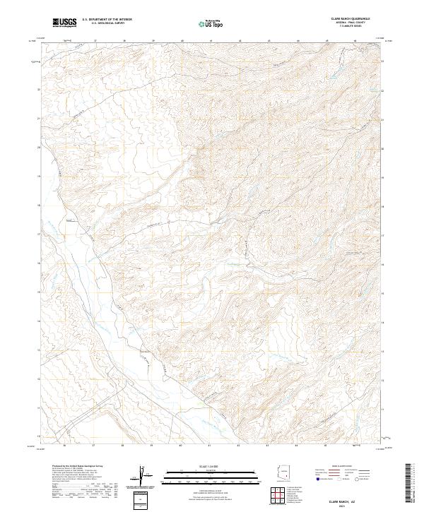
2021 Map of Clark Ranch
USGS Topo · Published 2021About this map
The San Pedro River valley in Pinal County is defined here by a series of intermittent washes and ranching access roads. Centered on the Clark Ranch, the map illustrates a landscape shaped by dry drainage systems such as Clark Wash, Scanlon Wash, and Gust James Wash. These desert corridors provide critical clues to the historical movement of livestock and the placement of remote homesteads across the arid basins.
Find a feature on this map
26 named features on this map. Tap any name to fly to it.
Don’t see what you’re looking for? This feature index may not catch every label — zoom into the map to look around manually.
Map Details
Editions of this 2021 Clark Ranch Map
This is the sole edition of this map. No revisions or reprints were ever made.
Other maps of this area

1911 · Winkelman
USGS Topo · 1:125,000

1913 · Winkelman
USGS Topo · 1:125,000

1938 · Galiuro Mts
USGS Topo · 1:48,000

1938 · Klondyke
USGS Topo · 1:48,000

1943 · Galiuro Mts
USGS Topo · 1:62,500

1943 · Klondyke
USGS Topo · 1:62,500

1948 · Clark Ranch
USGS Topo · 1:24,000

1948 · Mammoth
USGS Topo · 1:62,500

1948 · Mammoth
USGS Topo · 1:24,000

1948 · Campo Bonito
USGS Topo · 1:24,000