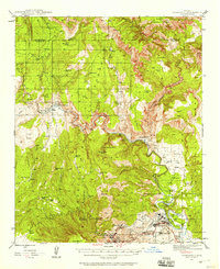
1944 Map of Clarkdale
USGS Topo · Published 1958About this map
Industrial and mining activity anchors the landscape of this 1944 survey, centered on the copper-producing hubs of Jerome and Clarkdale. Situated at the foot of Woodchute Mtn, the town of Jerome is marked by the nearby Josephine Mine, Daisy Mine, and Dundee Mine, reflecting the intensive extraction that defined the Black Hills region during this era. To the northeast, the smelter town of Clarkdale sits along the Verde River near the ancient ruins of Tuzigoot Nat Mon, while the industrial settlement of Tapco serves as a critical point on the Verde Valley RR. Further north, the Atchison Topeka and Santa Fe Railroad cuts through the canyon country at Perkinsville, illustrating the rail-dependent economy of central Arizona. The northern reaches of the map transition into the dense terrain of the Coconino National Forest, where isolated outposts like Packard Ranch are connected only by the Packard Trail.
Find a feature on this map
59 named features on this map. Tap any name to fly to it.
Don’t see what you’re looking for? This feature index may not catch every label — zoom into the map to look around manually.
Map Details
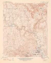
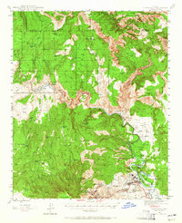
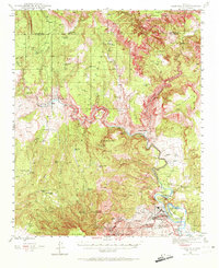
Editions of this 1944 Clarkdale Map
5 editions found

Other maps of this area

1886 · San Francisco Mtns
USGS Topo · 1:250,000

1886 · Chino
USGS Topo · 1:250,000

1887 · Verde
USGS Topo · 1:250,000

1887 · Prescott
USGS Topo · 1:250,000

1891 · San Francisco Mtns
USGS Topo · 1:250,000

1891 · Chino
USGS Topo · 1:250,000

1892 · Verde
USGS Topo · 1:250,000

1892 · Prescott
USGS Topo · 1:250,000

1894 · San Francisco Mtns
USGS Topo · 1:250,000

1899 · San Francisco Mtns
USGS Topo · 1:250,000