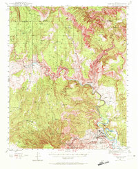
1944 Map of Clarkdale
USGS Topo · Published 1972About this map
Industrial copper operations and ancient archaeology converge at the southern edge of the Santa Fe Verde River corridor. The massive United Verde Mine and the Hopewell Tunnel dominate the landscape near Jerome, where the local economy centered on the transport and processing of ore. Downslope, the Smelter and the company town of Clarkdale sit adjacent to Tuzigoot Nat Mon, illustrating the deep layers of human habitation in the valley. Northward, the terrain transitions into the canyons of the Prescott National Forest, where isolated settlements like Perkinsville and Packard Ranch are connected by the Santa Fe railroad line. The map captures an era when mining infrastructure and ranching outposts were the primary features of this canyon-dissected region, including various mines like the Josephine Mine and Dundee Mine.
Find a feature on this map
61 named features on this map. Tap any name to fly to it.
Don’t see what you’re looking for? This feature index may not catch every label — zoom into the map to look around manually.
Map Details
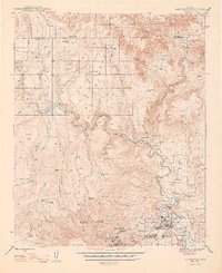
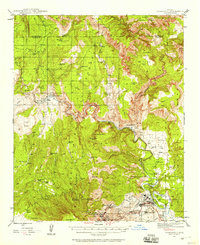
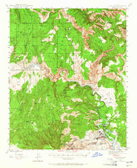
Editions of this 1944 Clarkdale Map
5 editions found

Other maps of this area

1886 · San Francisco Mtns
USGS Topo · 1:250,000

1886 · Chino
USGS Topo · 1:250,000

1887 · Verde
USGS Topo · 1:250,000

1887 · Prescott
USGS Topo · 1:250,000

1891 · San Francisco Mtns
USGS Topo · 1:250,000

1891 · Chino
USGS Topo · 1:250,000

1892 · Verde
USGS Topo · 1:250,000

1892 · Prescott
USGS Topo · 1:250,000

1894 · San Francisco Mtns
USGS Topo · 1:250,000

1899 · San Francisco Mtns
USGS Topo · 1:250,000