
1944 Map of Clarkdale
USGS Topo · Published 1944About this map
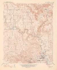
The Verde River meanders through this landscape, serving as the primary axis for industrial development and transportation during the mid-1940s. The town of Clarkdale dominates the southeastern quadrant, appearing as a significant industrial hub defined by its proximity to the Smelter and the Atchison Topeka and Santa Fe Railway. This infrastructure reflects the region's reliance on copper processing, with the worker settlements of Centerville and Hopewell clustered near the Jerome municipal boundary.
Find a feature on this map
49 named features on this map. Tap any name to fly to it.
Don’t see what you’re looking for? This feature index may not catch every label — zoom into the map to look around manually.
Map Details
Editions of this 1944 Clarkdale Map
5 editions found
Other maps of this area

1886 · San Francisco Mtns
USGS Topo · 1:250,000

1886 · Chino
USGS Topo · 1:250,000

1887 · Verde
USGS Topo · 1:250,000

1887 · Prescott
USGS Topo · 1:250,000

1891 · San Francisco Mtns
USGS Topo · 1:250,000

1891 · Chino
USGS Topo · 1:250,000

1892 · Verde
USGS Topo · 1:250,000

1892 · Prescott
USGS Topo · 1:250,000

1894 · San Francisco Mtns
USGS Topo · 1:250,000

1899 · San Francisco Mtns
USGS Topo · 1:250,000