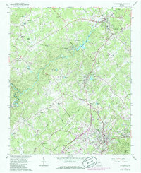
1964 Map of Clarkesville
USGS Topo · Published 1986About this map
The Soque River and Chattahoochee River define the terrain of this north Georgia landscape, where industrial and agricultural history converge. The settlement of Habersham sits just downstream from Habersham Mills Lake, illustrating the river-driven economy that once powered this region. Local transportation is anchored by the Southern Railroad, which threads through the southern half of the map, connecting the towns of Cornelia, Baldwin, and Mount Airy.
Find a feature on this map
73 named features on this map. Tap any name to fly to it.
Don’t see what you’re looking for? This feature index may not catch every label — zoom into the map to look around manually.
Map Details
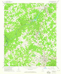
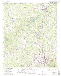
Editions of this 1964 Clarkesville Map
3 editions found
Other maps of this area

1886 · Dahlonega
USGS Topo · 1:125,000

1886 · Walhalla
USGS Topo · 1:125,000

1891 · Gainesville
USGS Topo · 1:125,000

1891 · Carnesville
USGS Topo · 1:125,000

1892 · Dahlonega
USGS Topo · 1:125,000

1892 · Walhalla
USGS Topo · 1:125,000

1896 · Walhalla
USGS Topo · 1:125,000

1896 · Dahlonega
USGS Topo · 1:125,000

1903 · Dahlonega
USGS Topo · 1:125,000

1953 · Tallulah Falls
USGS Topo · 1:24,000