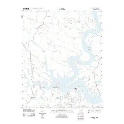
2011 Map of Clarkridge
USGS Topo · Published 2011About this map
Norfork Lake dominates the central and eastern portions of this Baxter County landscape, its winding shoreline creating a complex system of points and hollows. The rural settlement of Clarkridge serves as a northern anchor, where the Clarkridge Post Office remains a focal point for the community near the Missouri border. The map illustrates a transition from the agricultural uplands drained by East Pigeon Creek and Fords Branch to the recreation-oriented residential developments like Mallard Point, Dogwood Park, and Lakeside Terrace that line the lake's fingers.
Find a feature on this map
127 named features on this map. Tap any name to fly to it.
Don’t see what you’re looking for? This feature index may not catch every label — zoom into the map to look around manually.
Map Details
Editions of this 2011 Clarkridge Map
This is the sole edition of this map. No revisions or reprints were ever made.
Other maps of this area

1890 · Mountain Home
USGS Topo · 1:125,000

1891 · Mountain Home
USGS Topo · 1:125,000

1894 · Mountain Home
USGS Topo · 1:125,000

1934 · Gainesville
USGS Topo · 1:48,000

1940 · Gainesville
USGS Topo · 1:62,500

1944 · Cureall
USGS Topo · 1:62,500

1945 · Harrison
USGS Topo · 1:250,000

1946 · Cureall
USGS Topo · 1:62,500

1949 · Harrison
USGS Topo · 1:250,000

1954 · Harrison
USGS Topo · 1:250,000