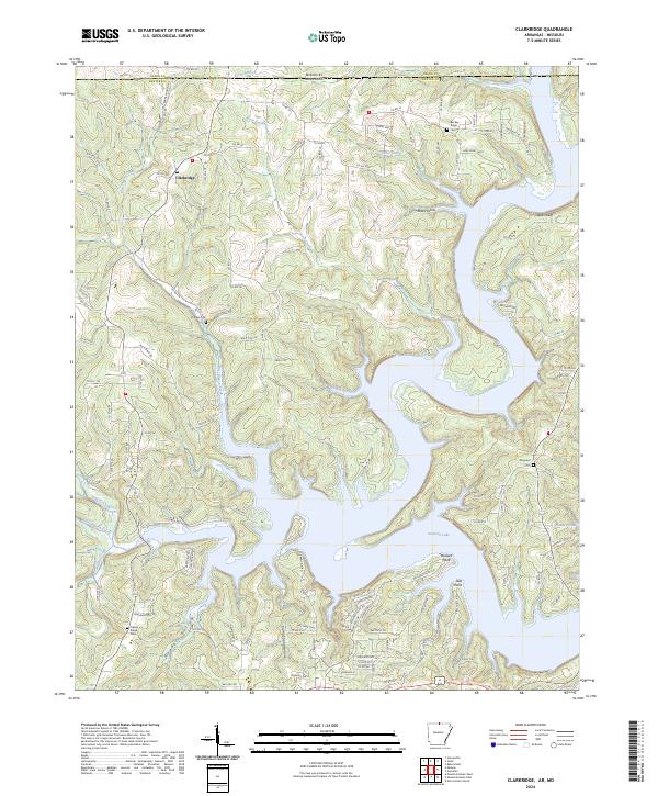
2024 Map of Clarkridge
USGS Topo · Published 2024About this map
Norfork Lake dominates the southern half of this landscape, its complex shoreline carving deep into the Ozark Plateau. This contemporary view of northern Arkansas and southern Missouri shows the intricate network of ridges and hollows that define the border region. The community of Clarkridge and the high ground of Bentley Ridge sit among the primary drainages of East Pigeon Creek and Cedar Creek. The mapping reveals a rural landscape where modern roads like Calhan Cir and RS Ranch Rd intersect with the area's pioneer past.
Find a feature on this map
121 named features on this map. Tap any name to fly to it.
Don’t see what you’re looking for? This feature index may not catch every label — zoom into the map to look around manually.
Map Details
Editions of this 2024 Clarkridge Map
This is the sole edition of this map. No revisions or reprints were ever made.
Other maps of this area

1890 · Mountain Home
USGS Topo · 1:125,000

1891 · Mountain Home
USGS Topo · 1:125,000

1894 · Mountain Home
USGS Topo · 1:125,000

1934 · Gainesville
USGS Topo · 1:48,000

1940 · Gainesville
USGS Topo · 1:62,500

1944 · Cureall
USGS Topo · 1:62,500

1945 · Harrison
USGS Topo · 1:250,000

1946 · Cureall
USGS Topo · 1:62,500

1949 · Harrison
USGS Topo · 1:250,000

1954 · Harrison
USGS Topo · 1:250,000