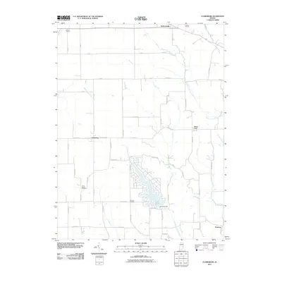
2010 Map of Clarksburg
USGS Topo · Published 2010About this map
Lake Santee serves as a modern focal point in this rural landscape, its irregular shoreline and residential layout contrasting with the surrounding agricultural grid. The area is defined by the branching tributaries of the South Fork Little Salt Creek and Bull Fork, which carve through the farmland of southeastern Indiana. Smaller settlements such as Clarksburg and Andersonville remain anchored by historical road networks, while several family and community burial grounds, including the Old Brick Cemetery and Richland Cemetery, provide vital touchpoints for genealogical research. The southern portion of the map transition toward Hamburg, where the terrain begins to shift toward the Righthand Fork Salt Creek drainage. This 2010 survey illustrates the balance between long-standing agricultural townships and the development centered around the Lake Santee Dam.
Find a feature on this map
44 named features on this map. Tap any name to fly to it.
Don’t see what you’re looking for? This feature index may not catch every label — zoom into the map to look around manually.
Map Details
Editions of this 2010 Clarksburg Map
This is the sole edition of this map. No revisions or reprints were ever made.
Other maps of this area

1946 · Batesville
USGS Topo · 1:24,000

1946 · New Point
USGS Topo · 1:24,000

1953 · Cincinnati
USGS Topo · 1:250,000

1956 · Alpine
USGS Topo · 1:24,000

1956 · Metamora
USGS Topo · 1:24,000

1957 · Cincinnati
USGS Topo · 1:250,000

1958 · Greensburg
USGS Topo · 1:24,000

1958 · Clarksburg
USGS Topo · 1:24,000

1959 · Milroy
USGS Topo · 1:24,000

1959 · Rushville
USGS Topo · 1:24,000