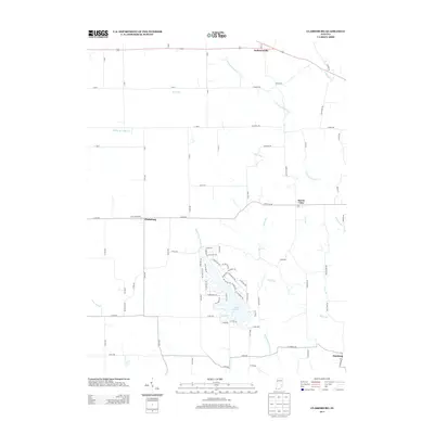
2013 Map of Clarksburg
USGS Topo · Published 2013About this map
Lake Santee and its surrounding network of private drives and trails dominate the southern portion of this landscape, where the Righthand Fork Salt Cr was impounded to create the reservoir. The topography is defined by the headwaters of several drainages, including the Middle Br Clifty Cr and the S Fork Little Salt Cr, which carve through the rural countryside. Small crossroads settlements like Clarksburg and Andersonville serve as anchors for the local road network, which transitions from standard county numbering to named paths like Buena Vista Rd and W Chapel Rd. The map illustrates a contemporary pattern of land use where historic agricultural corridors intersect with modern residential development around the lake, providing a clear record of property boundaries and local infrastructure in this part of Franklin and Decatur Counties.
Find a feature on this map
89 named features on this map. Tap any name to fly to it.
Don’t see what you’re looking for? This feature index may not catch every label — zoom into the map to look around manually.
Map Details
Editions of this 2013 Clarksburg Map
This is the sole edition of this map. No revisions or reprints were ever made.
Other maps of this area

1946 · Batesville
USGS Topo · 1:24,000

1946 · New Point
USGS Topo · 1:24,000

1953 · Cincinnati
USGS Topo · 1:250,000

1956 · Alpine
USGS Topo · 1:24,000

1956 · Metamora
USGS Topo · 1:24,000

1957 · Cincinnati
USGS Topo · 1:250,000

1958 · Greensburg
USGS Topo · 1:24,000

1958 · Clarksburg
USGS Topo · 1:24,000

1959 · Milroy
USGS Topo · 1:24,000

1959 · Rushville
USGS Topo · 1:24,000