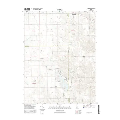
2016 Map of Clarksburg
USGS Topo · Published 2016About this map
Lake Santee serves as a central geographic anchor for this 2016 survey, with its shores lined by a dense network of residential streets such as NE Mohican Trl and Santee Dr. This modern map illustrates the convergence of three Indiana counties—Rush, Franklin, and Decatur—tracing the boundaries across a landscape of agriculture and creek forks. The area is marked by longstanding rural settlements, including Clarksburg and Andersonville, connected by a grid of county roads and E State Rd 244.
Find a feature on this map
87 named features on this map. Tap any name to fly to it.
Don’t see what you’re looking for? This feature index may not catch every label — zoom into the map to look around manually.
Map Details
Editions of this 2016 Clarksburg Map
This is the sole edition of this map. No revisions or reprints were ever made.
Other maps of this area

1946 · Batesville
USGS Topo · 1:24,000

1946 · New Point
USGS Topo · 1:24,000

1953 · Cincinnati
USGS Topo · 1:250,000

1956 · Alpine
USGS Topo · 1:24,000

1956 · Metamora
USGS Topo · 1:24,000

1957 · Cincinnati
USGS Topo · 1:250,000

1958 · Greensburg
USGS Topo · 1:24,000

1958 · Clarksburg
USGS Topo · 1:24,000

1959 · Milroy
USGS Topo · 1:24,000

1959 · Rushville
USGS Topo · 1:24,000