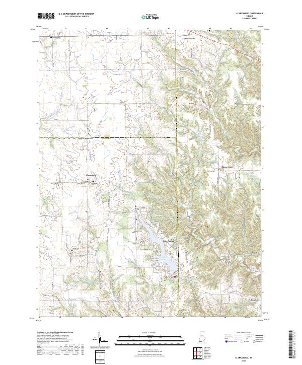
2022 Map of Clarksburg
USGS Topo · Published 2022About this map
Clarksburg stands as a central crossroads in this pocket of rural Indiana where the boundaries of Rush Co, Decatur Co, and Franklin Co converge. The landscape is defined by the headwaters of several regional waterways, including Middle Br Clifty Cr and the Righthand Fork Salt Cr. In the southern portion of the map, the residential community surrounding Lake Santee provides a stark contrast to the sprawling agricultural sections that surround it, with its network of private drives like E Niagara Trl.
Find a feature on this map
80 named features on this map. Tap any name to fly to it.
Don’t see what you’re looking for? This feature index may not catch every label — zoom into the map to look around manually.
Map Details
Editions of this 2022 Clarksburg Map
This is the sole edition of this map. No revisions or reprints were ever made.
Other maps of this area

1946 · Batesville
USGS Topo · 1:24,000

1946 · New Point
USGS Topo · 1:24,000

1953 · Cincinnati
USGS Topo · 1:250,000

1956 · Alpine
USGS Topo · 1:24,000

1956 · Metamora
USGS Topo · 1:24,000

1957 · Cincinnati
USGS Topo · 1:250,000

1958 · Greensburg
USGS Topo · 1:24,000

1958 · Clarksburg
USGS Topo · 1:24,000

1959 · Milroy
USGS Topo · 1:24,000

1959 · Rushville
USGS Topo · 1:24,000