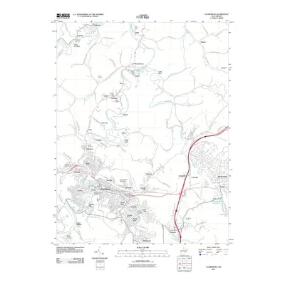
2011 Map of Clarksburg
USGS Topo · Published 2011About this map
Pinnickinnick Mountain rises as a prominent landmark overlooking the industrial and residential heart of north-central West Virginia, where the West Fork River and Elk Creek converge. The landscape is a dense network of historically significant settlements such as Clarksburg, Bridgeport, and Meadowbrook, many of which grew around the region's extraction and transportation hubs. Evidence of the area's coal heritage is seen in the Lee Mine and Cook Mine, while the social fabric of the community is reflected in numerous burial grounds, including the Independent Order of Oddfellows Cemetery and Robinson Cemetery. The infrastructure of the early 21st century is well-represented, from the Bridgeport Water Supply Lake at Hinkle Lake Dam to the complex road systems of the George Washington Hwy and modern commercial centers like the Meadowbrook Mall, highlighting the shift from a resource-based economy to a modern regional center.
Find a feature on this map
108 named features on this map. Tap any name to fly to it.
Don’t see what you’re looking for? This feature index may not catch every label — zoom into the map to look around manually.
Map Details
Editions of this 2011 Clarksburg Map
This is the sole edition of this map. No revisions or reprints were ever made.
Other maps of this area

1902 · Clarksburg
USGS Topo · 1:62,500

1902 · Fairmont
USGS Topo · 1:62,500

1904 · Philippi
USGS Topo · 1:62,500

1904 · Weston
USGS Topo · 1:62,500

1910 · Clarksburg
USGS Topo · 1:62,500

1923 · Fairmont
USGS Topo · 1:62,500

1923 · Clarksburg
USGS Topo · 1:62,500

1925 · Clarksburg
USGS Topo · 1:62,500

1925 · Philippi
USGS Topo · 1:62,500

1926 · Fairmont
USGS Topo · 1:62,500