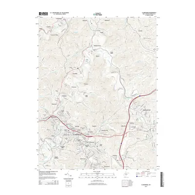
2014 Map of Clarksburg
USGS Topo · Published 2014About this map
Clarksburg sits at the confluence of Elk Creek and the West Fork River, serving as a central hub for the surrounding industrial and residential landscape of Harrison County. The topographic detail reveals the dense settlement patterns of neighborhoods like Adamston, Stealey, and Broad Oaks, while also highlighting the infrastructure that connects them, including the Adamston Bridge and Sixth-Street Bridge. To the north and west, the landscape transitions into a legacy of extraction and production, evidenced by the Laura Lee Mine and the Cook Mine. The area's complex topography is anchored by prominent heights such as Pinnickinnick Mtn and Duncan Hill, which overlook a network of smaller communities including Meadowbrook, Spelter, and Hepzibah. Genealogists will find a wealth of burial sites throughout the quadrangle, from the Old Robey Rd Cem in the northwest to the Mt Zion Cem near Anmoore.
Find a feature on this map
88 named features on this map. Tap any name to fly to it.
Don’t see what you’re looking for? This feature index may not catch every label — zoom into the map to look around manually.
Map Details
Editions of this 2014 Clarksburg Map
This is the sole edition of this map. No revisions or reprints were ever made.
Other maps of this area

1902 · Clarksburg
USGS Topo · 1:62,500

1902 · Fairmont
USGS Topo · 1:62,500

1904 · Philippi
USGS Topo · 1:62,500

1904 · Weston
USGS Topo · 1:62,500

1910 · Clarksburg
USGS Topo · 1:62,500

1923 · Fairmont
USGS Topo · 1:62,500

1923 · Clarksburg
USGS Topo · 1:62,500

1925 · Clarksburg
USGS Topo · 1:62,500

1925 · Philippi
USGS Topo · 1:62,500

1926 · Fairmont
USGS Topo · 1:62,500