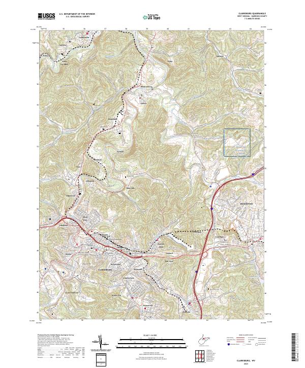
2023 Map of Clarksburg
USGS Topo · Published 2023About this map
Clarksburg serves as the focal point of this 2023 survey, showing a landscape defined by the winding West Fork River and the industrial corridors that shaped North Central West Virginia. The terrain is marked by prominent elevations like Pinnickinnick Mountain and a dense network of residential and industrial districts, including Glen Elk, Montpelier, and Broad Oaks. Civic life is centered around the Harrison County Courthouse and Harrison County Magistrate Court in the downtown area, while the city's outskirts transition into specialized communities like Industrial and Summit Park.
Find a feature on this map
228 named features on this map. Tap any name to fly to it.
Don’t see what you’re looking for? This feature index may not catch every label — zoom into the map to look around manually.
Map Details
Editions of this 2023 Clarksburg Map
This is the sole edition of this map. No revisions or reprints were ever made.
Other maps of this area

1902 · Clarksburg
USGS Topo · 1:62,500
1902 · Fairmont
USGS Topo · 1:62,500
1904 · Philippi
USGS Topo · 1:62,500
1904 · Weston
USGS Topo · 1:62,500
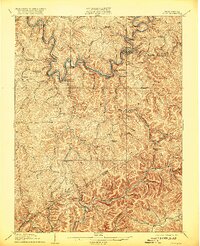
1910 · Clarksburg
USGS Topo · 1:62,500
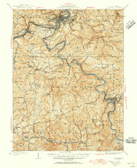
1923 · Fairmont
USGS Topo · 1:62,500
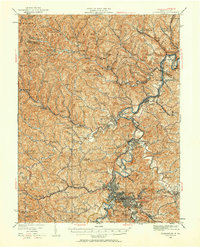
1923 · Clarksburg
USGS Topo · 1:62,500
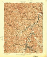
1925 · Clarksburg
USGS Topo · 1:62,500
1925 · Philippi
USGS Topo · 1:62,500
1926 · Fairmont
USGS Topo · 1:62,500