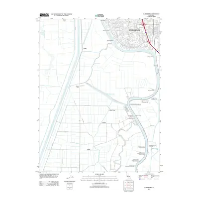
2012 Map of Clarksburg
USGS Topo · Published 2012About this map
The Sacramento River defines this landscape south of the state capital, where the river's winding course is mirrored by the engineered precision of the Sacramento River Deep Water Ship Channel and the Tule Canal. The settlement of Clarksburg sits as a central hub near the Clarksburg Marina, surrounded by a complex network of landings that highlight the historic importance of river-based commerce. These specific points, including Nichols Landing and Rosebud Landing, are meticulously recorded alongside inland features like Winchester Lake and Babel Slough. The contrast between the suburban expansion of Sacramento in the north and the agricultural tracts of Central and Coniston to the south illustrates the region's diverse land use. Aviation history is also represented at the Borges - Clarksburg Airport, situated on the western bank of the river loop.
Find a feature on this map
95 named features on this map. Tap any name to fly to it.
Don’t see what you’re looking for? This feature index may not catch every label — zoom into the map to look around manually.
Map Details
Editions of this 2012 Clarksburg Map
This is the sole edition of this map. No revisions or reprints were ever made.
Other maps of this area

1891 · Sacramento
USGS Topo · 1:125,000

1892 · Sacramento
USGS Topo · 1:125,000

1893 · Sacramento
USGS Topo · 1:125,000

1894 · Lodi
USGS Topo · 1:125,000

1902 · Fairoaks
USGS Topo · 1:62,500

1907 · Davisville
USGS Topo · 1:62,500

1908 · Courtland
USGS Topo · 1:62,500

1909 · Florin
USGS Topo · 1:31,680

1910 · Bruceville
USGS Topo · 1:31,680

1911 · Brighton
USGS Topo · 1:31,680