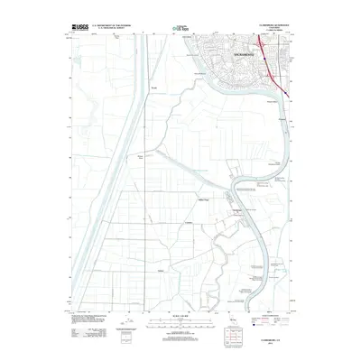
2022 Map of Clarksburg
USGS Topo · Published 2022About this map
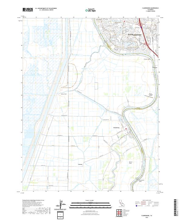
Clarksburg sits as a primary riverside settlement in this modern landscape, defined by the complex water management systems of the Sacramento Valley. The map illustrates the sharp contrast between the dense residential grid of Sacramento in the north and the expansive agricultural tracts of Yolo Co and Sacramento Co to the south. Central to this geography is the Sacramento River Deep Water Ship Channel, a massive engineered waterway flanked by the Toe Drain, which parallels the natural winding course of the Sacramento River.
Find a feature on this map
95 named features on this map. Tap any name to fly to it.
Don’t see what you’re looking for? This feature index may not catch every label — zoom into the map to look around manually.
Map Details
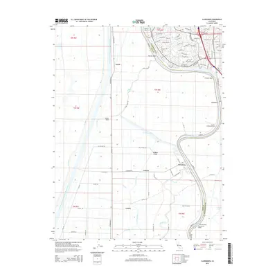
Editions of this 2022 Clarksburg Map
This is the sole edition of this map. No revisions or reprints were ever made.
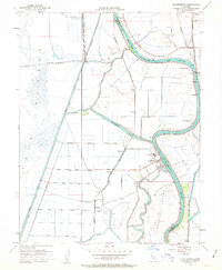
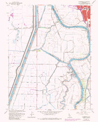
Historical Maps of Sacramento Through Time
6 maps found