
1966 Map of Clarkson SW
USGS Topo · Published 1967About this map
Taylor Creek and its many small tributaries carve a complex drainage pattern across this rural landscape in Colfax County, where mid-1960s land use is defined by section-line roads and dispersed farmsteads. The area is organized into distinct townships including Wilson, Midland, Grant, and Shell Creek, each maintaining its own social centers. Education is decentralized across several local districts, as evidenced by Wilson Sch, Langley Sch, School No 10, and School No 8. These small schools, alongside country churches like Wilson Ch and Immanuel Ch, served as the primary anchors for the surrounding agrarian community. The southern portion of the map is dominated by the meandering course of Shell Creek, which flows eastward toward its junction with the South Fork Dry Creek, illustrating the importance of natural waterways in shaping early Nebraska settlement boundaries.
Find a feature on this map
13 named features on this map. Tap any name to fly to it.
Don’t see what you’re looking for? This feature index may not catch every label — zoom into the map to look around manually.
Map Details
Editions of this 1966 Clarkson SW Map
This is the sole edition of this map. No revisions or reprints were ever made.
Other maps of this area

1899 · David City
USGS Topo · 1:125,000

1955 · Fremont
USGS Topo · 1:250,000

1957 · Fremont
USGS Topo · 1:250,000

1958 · Fremont
USGS Topo · 1:250,000

1958 · Columbus
USGS Topo · 1:24,000

1966 · Humphrey SE
USGS Topo · 1:24,000

1966 · Clarkson
USGS Topo · 1:24,000

1966 · Creston
USGS Topo · 1:24,000
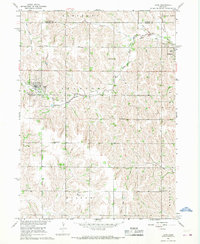
1966 · Leigh
USGS Topo · 1:24,000
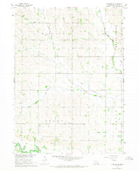
1966 · Clarkson SE
USGS Topo · 1:24,000