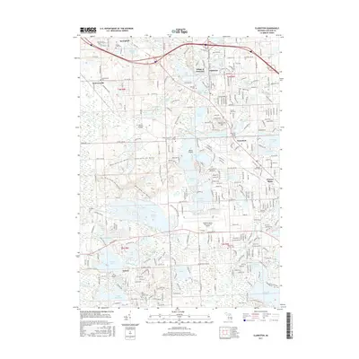
2017 Map of Clarkston
USGS Topo · Published 2017About this map
Village of Clarkston and the surrounding lake country of Oakland County are defined by a complex network of glacial waterways and growing suburban communities. The Clinton River and Huron River systems link dozens of named water bodies, from the expansive Pontiac Lake and Maceday Lake to smaller basins like Deer Lake and Lester Lake. This modern survey illustrates how infrastructure such as Dixie HWY and Highland RD has integrated these once-distinct resort and milling settlements into the greater metropolitan area.
Find a feature on this map
88 named features on this map. Tap any name to fly to it.
Don’t see what you’re looking for? This feature index may not catch every label — zoom into the map to look around manually.
Map Details
Editions of this 2017 Clarkston Map
This is the sole edition of this map. No revisions or reprints were ever made.
Other maps of this area

1907 · Pontiac
USGS Topo · 1:62,500

1909 · Milford
USGS Topo · 1:62,500

1920 · Holly
USGS Topo · 1:62,500

1922 · Holly
USGS Topo · 1:62,500

1936 · Wixom
USGS Topo · 1:31,680

1936 · Highland
USGS Topo · 1:31,680

1936 · Clarkston
USGS Topo · 1:31,680

1936 · Walled Lake
USGS Topo · 1:31,680

1936 · Pontiac South
USGS Topo · 1:31,680

1936 · Pontiac North
USGS Topo · 1:31,680
Featured Places
- Waterford Township, MI
- Independence Charter Township, MI
- White Lake Charter Township, MI
- Springfield Charter Township, MI
- Clarkston, MI