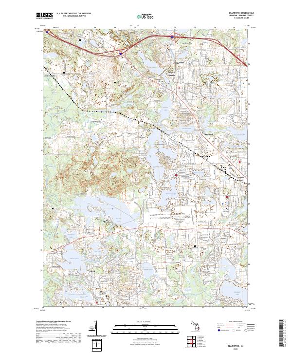
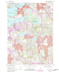
2023 Map of Clarkston
USGS Topo · Published 2023About this map
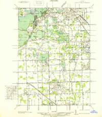
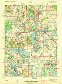
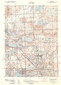
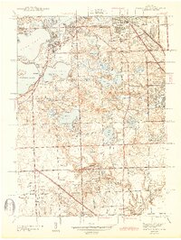
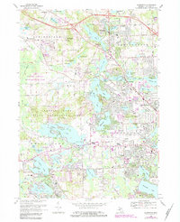
Glacial lakes and wetlands define the topography of this Oakland County landscape, where the headwaters of the Clinton River and Huron River originate. The historic core of the Village of Clarkston sits between Deer Lake and Parke Lake, reflecting a mid-19th-century settlement pattern that has evolved into a modern residential hub. To the west, the Huron Swamp and Fair Lake provide a stark contrast to the developed corridors of Dixie Hwy and Highland Rd.
Find a feature on this map
72 named features on this map. Tap any name to fly to it.
Don’t see what you’re looking for? This feature index may not catch every label — zoom into the map to look around manually.
Map Details
Editions of this 2023 Clarkston Map
This is the sole edition of this map. No revisions or reprints were ever made.
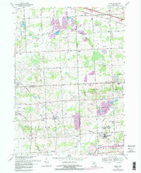
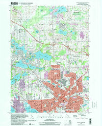
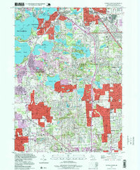
Historical Maps of Andersonville Through Time
30 maps found
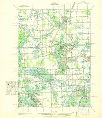
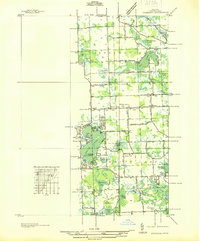
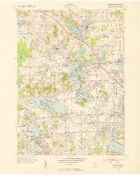
1936 Clarkston
Oakland County, MI
1936 Highland
Oakland County, MI
1936 Pontiac North
Oakland County, MI
1936 Pontiac South
Oakland County, MI
1936 Salem
Oakland County, MI
1942 Highland
Oakland County, MI
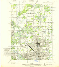
1943 Clarkston
Oakland County, MI
1943 Pontiac North
Oakland County, MI
1943 Pontiac South
Oakland County, MI
1945 Davisburg
Oakland County, MI
1945 Highland
Oakland County, MI

1945 Salem
Oakland County, MI
1952 Clarkston
Oakland County, MI
1952 Pontiac North
Oakland County, MI
1952 Pontiac South
Oakland County, MI
1953 Salem
Oakland County, MI
1968 Clarkston
Oakland County, MI
1968 Davisburg
Oakland County, MI
1968 Highland
Oakland County, MI
1968 Pontiac North
Oakland County, MI
1968 Pontiac South
Oakland County, MI
1969 Salem
Oakland County, MI
1997 Pontiac North
Oakland County, MI
1997 Pontiac South
Oakland County, MI
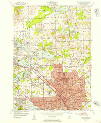
2023 Clarkston
Oakland County, MI
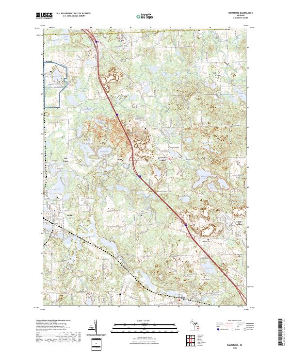
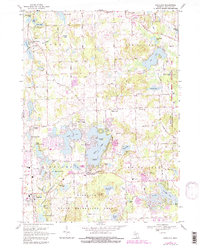
2023 Davisburg
Oakland County, MI
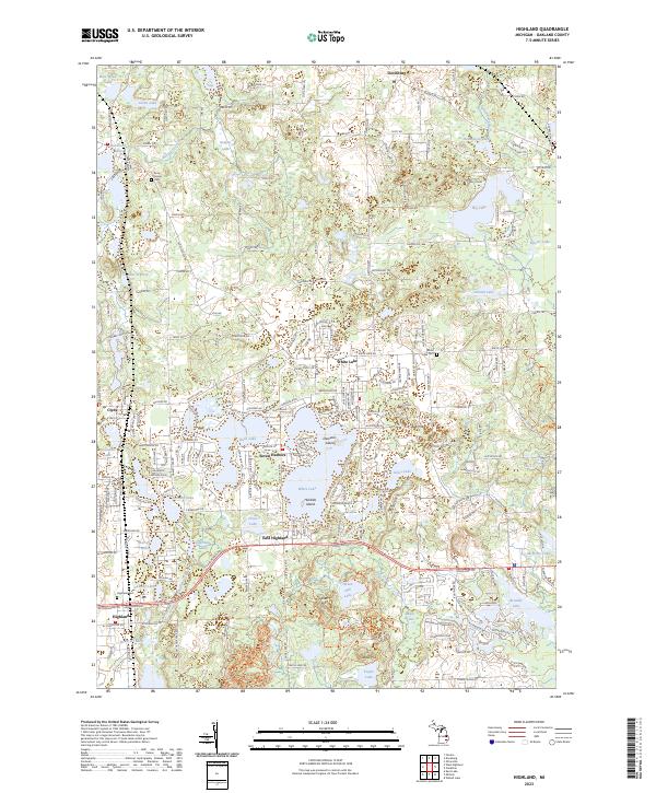
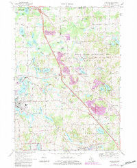
2023 Highland
Oakland County, MI
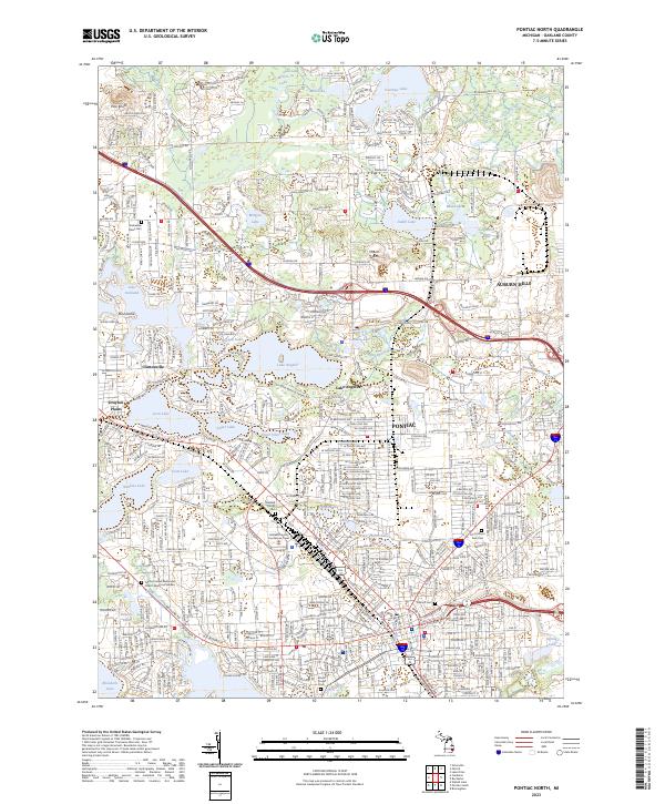
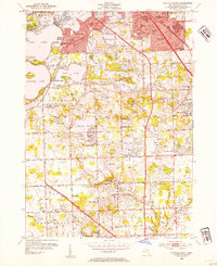
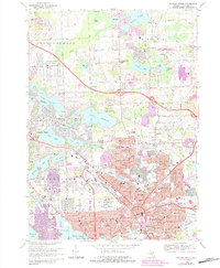
2023 Pontiac North
Oakland County, MI
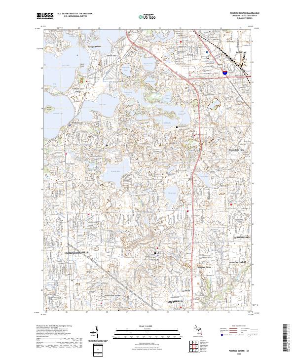
2023 Pontiac South
Oakland County, MI
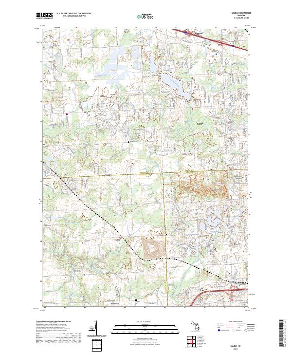
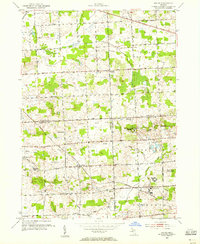
2023 Salem
Oakland County, MI
Featured Locations
- White Lake Charter Township, MI
- Independence Charter Township, MI
- Clarkston, MI
- Springfield Charter Township, MI
- Waterford Township, MI