Loading...
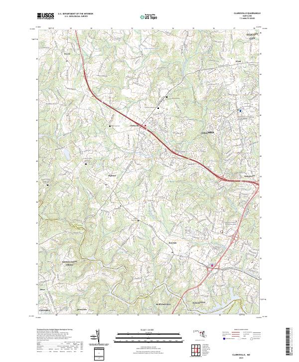
Loading map...2023 Map of Clarksville
USGS Topo · Published 2023About this map
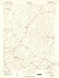
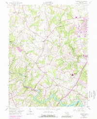
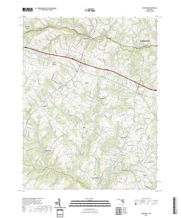
Columbia and its surrounding suburban and rural landscapes define this contemporary look at Howard County. The map documents the intricate development patterns that have evolved around the Middle Patuxent River and Patuxent River corridors. Local history and genealogy are preserved through several well-marked burial grounds, including the Saint Louis Cem and the Roberts / Burkett / Dorsey / Hall Family Cem, which points to the area's deep-rooted family legacies.
Find a feature on this map
235 named features on this map. Tap any name to fly to it.
Don’t see what you’re looking for? This feature index may not catch every label — zoom into the map to look around manually.
Map Details
Date Portrayed2023
Date Published2023
PublisherU.S. Geological Survey
Map TypeTopographic
Scale1:24000
Physical Dimensions24 x 29 inches
Editions of this 2023 Clarksville Map
This is the sole edition of this map. No revisions or reprints were ever made.
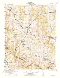
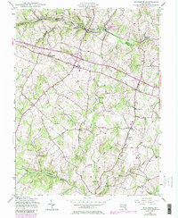
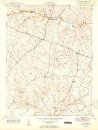
Historical Maps of Fulton Through Time
9 maps found
Featured Locations
Source Details
SourceU.S. Geological Survey
CopyrightPublic Domain