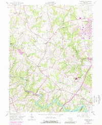
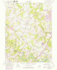
1957 Map of Clarksville
USGS Topo · Published 1989About this map
Clarksville and the surrounding rural communities of Highland, Dayton, and Simpsonville occupy a landscape defined by the winding course of the Middle Patuxent River and its southern neighbor, the Patuxent River. The 1970s updates reveal the early expansion of Columbia in the northeast, where Howard County Community College and Atholton High School appear as purple overlays, signaling the transition from traditional Maryland farmland to suburban development.
Find a feature on this map
36 named features on this map. Tap any name to fly to it.
Don’t see what you’re looking for? This feature index may not catch every label — zoom into the map to look around manually.
Map Details
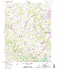
Editions of this 1957 Clarksville Map
6 editions found
Other maps of this area

1892 · Laurel
USGS Topo · 1:62,500

1892 · Ellicott
USGS Topo · 1:62,500

1893 · Frederick
USGS Topo · 1:125,000

1894 · Ellicott
USGS Topo · 1:62,500

1894 · Laurel
USGS Topo · 1:62,500

1894 · Frederick
USGS Topo · 1:125,000

1897 · Laurel
USGS Topo · 1:62,500

1906 · Ellicott
USGS Topo · 1:62,500

1907 · Laurel
USGS Topo · 1:62,500

1908 · Patapsco
USGS Topo · 1:125,000