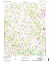
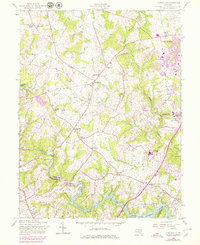
1957 Map of Clarksville
USGS Topo · Published 1989About this map
The Middle Patuxent River and Patuxent River drain this rural corridor of Howard County during a period of significant suburban transition. While established settlements like Clarksville and Highland anchor the western landscape, the eastern edge shows the early footprint of Columbia, a planned community emerging near Simpsonville. The area is densely dotted with local landmarks of genealogical interest, including the Linthicum and St Louis cemeteries, alongside numerous country houses of worship such as Linden Ch and Mt Zion Ch.
Find a feature on this map
33 named features on this map. Tap any name to fly to it.
Don’t see what you’re looking for? This feature index may not catch every label — zoom into the map to look around manually.
Map Details
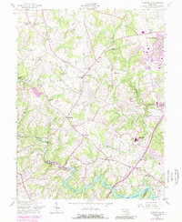
Editions of this 1957 Clarksville Map
6 editions found
Other maps of this area

1892 · Laurel
USGS Topo · 1:62,500

1892 · Ellicott
USGS Topo · 1:62,500

1893 · Frederick
USGS Topo · 1:125,000

1894 · Ellicott
USGS Topo · 1:62,500

1894 · Laurel
USGS Topo · 1:62,500

1894 · Frederick
USGS Topo · 1:125,000

1897 · Laurel
USGS Topo · 1:62,500

1906 · Ellicott
USGS Topo · 1:62,500

1907 · Laurel
USGS Topo · 1:62,500

1908 · Patapsco
USGS Topo · 1:125,000