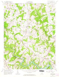
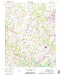
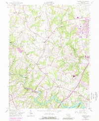
1957 Map of Clarksville
USGS Topo · Published 1966About this map
The Patuxent River and its tributary, the Middle Patuxent River, define the landscape of southern Howard County during the late 1950s. This survey records a period of agricultural transitions and early suburban shifts, centered on the village of Clarksville. Local family legacies are preserved through features like Linthicum Cem and religious hubs such as St Marks Ch and Mt Zion Ch.
Find a feature on this map
33 named features on this map. Tap any name to fly to it.
Don’t see what you’re looking for? This feature index may not catch every label — zoom into the map to look around manually.
Map Details
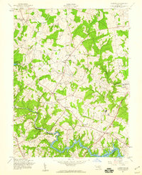
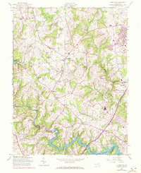
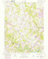
Editions of this 1957 Clarksville Map
6 editions found
Other maps of this area

1892 · Laurel
USGS Topo · 1:62,500

1892 · Ellicott
USGS Topo · 1:62,500

1893 · Frederick
USGS Topo · 1:125,000

1894 · Ellicott
USGS Topo · 1:62,500

1894 · Laurel
USGS Topo · 1:62,500

1894 · Frederick
USGS Topo · 1:125,000

1897 · Laurel
USGS Topo · 1:62,500

1906 · Ellicott
USGS Topo · 1:62,500

1907 · Laurel
USGS Topo · 1:62,500

1908 · Patapsco
USGS Topo · 1:125,000