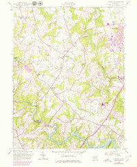
1957 Map of Clarksville
USGS Topo · Published 1979About this map
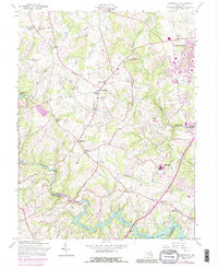
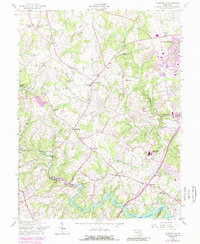
Columbia and its surrounding rural crossroads appear here during a transformative period in Howard County, as suburban expansion begins to meet established farming communities. This survey, based on 1943 and 1955 data with 1977 revisions, shows the early footprints of development near Simpsonville and the Hopkins Applied Physics Lab alongside longstanding local landmarks. Small rural centers like Highland and Dayton are anchored by family-named features and religious sites such as Linden Ch, St Louis Sch, and the Linthicum Cem. The landscape is defined by the winding course of the Middle Patuxent River and the Patuxent River, which feed into the Triadelphia Reservoir and the Rocky Gorge Reservoir. These water bodies and their surrounding drainages, including Hammond Branch, provide a clear view of the area's topography before the full intensity of modern residential growth.
Find a feature on this map
37 named features on this map. Tap any name to fly to it.
Don’t see what you’re looking for? This feature index may not catch every label — zoom into the map to look around manually.
Map Details
Editions of this 1957 Clarksville Map
6 editions found
Other maps of this area

1892 · Laurel
USGS Topo · 1:62,500

1892 · Ellicott
USGS Topo · 1:62,500

1893 · Frederick
USGS Topo · 1:125,000

1894 · Ellicott
USGS Topo · 1:62,500

1894 · Laurel
USGS Topo · 1:62,500

1894 · Frederick
USGS Topo · 1:125,000

1897 · Laurel
USGS Topo · 1:62,500

1906 · Ellicott
USGS Topo · 1:62,500

1907 · Laurel
USGS Topo · 1:62,500

1908 · Patapsco
USGS Topo · 1:125,000