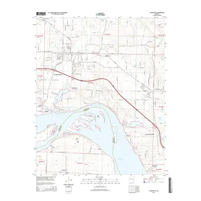
2014 Map of Clarksville
USGS Topo · Published 2014About this map
Clarksville serves as the focal point of this Johnson County region, situated north of the sweeping curves of the Arkansas River. The landscape is defined by the transition from the city's residential and institutional heart, including the Univ of the Ozarks, to the low-lying wetlands of Cuba Bottom and the broad expanse of Lake Dardanelle. This proximity to the river influenced the early development of outlying settlements like Spadra and Lamar, which are connected by a network of established county roads and the Interstate highway system.
Find a feature on this map
163 named features on this map. Tap any name to fly to it.
Don’t see what you’re looking for? This feature index may not catch every label — zoom into the map to look around manually.
Map Details
Editions of this 2014 Clarksville Map
This is the sole edition of this map. No revisions or reprints were ever made.
Other maps of this area
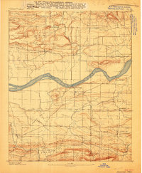
1887 · Magazine Mountain #1
USGS Topo · 1:62,500

1887 · Magazine Mountain
USGS Topo · 1:62,500
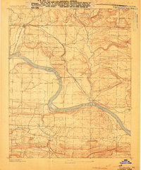
1888 · Dardanelle #2
USGS Topo · 1:62,500
1889 · Ozone
USGS Topo · 1:62,500

1890 · Magazine Mountain
USGS Topo · 1:125,000

1890 · Dardanelle
USGS Topo · 1:125,000
1906 · Batson
USGS Topo · 1:62,500
1934 · Ozone
USGS Topo · 1:62,500
1936 · Ozone
USGS Topo · 1:62,500

1956 · Russellville
USGS Topo · 1:250,000