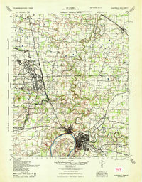
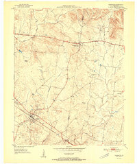
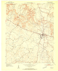
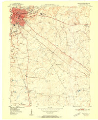
1944 Map of Clarksville
USGS Topo · Published 1946About this map
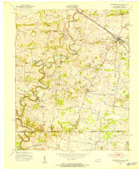
Camp Campbell dominates the western landscape of this mid-1940s survey, showing a sprawling military installation complete with its own street grid, including 42nd St. and 26th St., alongside the Air Support Command Base. The Military Reservation Boundary cuts a sharp line through the countryside, separating the burgeoning base from established agrarian communities like St. Elmo and Ringgold. To the southeast, Clarksville sits at the confluence of the Cumberland River and the Red River, a vital transportation hub served by the Louisville and Nashville Railroad.
Find a feature on this map
49 named features on this map. Tap any name to fly to it.
Don’t see what you’re looking for? This feature index may not catch every label — zoom into the map to look around manually.
Map Details
Editions of this 1944 Clarksville Map
This is the sole edition of this map. No revisions or reprints were ever made.
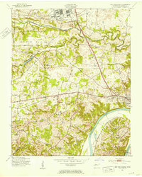
Other maps of this area
1931 · Erin
USGS Topo · 1:62,500
1950 · Guthrie
USGS Topo · 1:24,000
1950 · Pembroke
USGS Topo · 1:24,000
1951 · Pembroke
USGS Topo · 1:24,000

1951 · Church Hill
USGS Topo · 1:24,000
1951 · Elkton
USGS Topo · 1:24,000
1951 · Hopkinsville
USGS Topo · 1:24,000
1951 · New Providence
USGS Topo · 1:24,000
1951 · Hammacksville
USGS Topo · 1:24,000
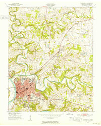
1951 · Clarksville
USGS Topo · 1:24,000