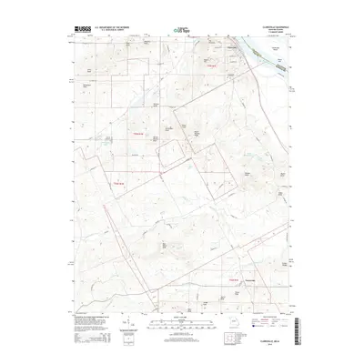
2014 Map of Clarksville
USGS Topo · Published 2014About this map
Clarksville sits along the western bank of the Mississippi River, overlooking Clarksville Island and Island 464 in an area where the river defines the boundary between Missouri and Illinois. This 2014 survey reveals a landscape dominated by dramatic high points and ridges, including The Pinnacle and Robert Hill, which provide a sharp vertical contrast to the river bottomlands. To the south, the settlement of Paynesville anchors a network of rural roads that wind through the hills of Pike County.
Find a feature on this map
70 named features on this map. Tap any name to fly to it.
Don’t see what you’re looking for? This feature index may not catch every label — zoom into the map to look around manually.
Map Details
Editions of this 2014 Clarksville Map
This is the sole edition of this map. No revisions or reprints were ever made.
Other maps of this area

1890 · Louisiana
USGS Topo · 1:125,000

1930 · Nebo
USGS Topo · 1:62,500

1934 · Nebo
USGS Topo · 1:48,000

1934 · Elsberry
USGS Topo · 1:48,000

1937 · Silex
USGS Topo · 1:62,500

1937 · Bowling Green
USGS Topo · 1:62,500

1939 · Silex
USGS Topo · 1:48,000

1940 · Bowling Green
USGS Topo · 1:62,500

1942 · Nebo
USGS Topo · 1:62,500

1942 · Elsberry
USGS Topo · 1:62,500