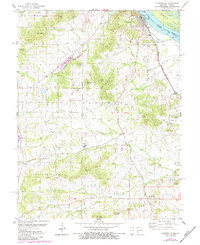
1978 Map of Clarksville
USGS Topo · Published 1984About this map
Clarksville sits along the west bank of the Mississippi River in this late-1970s landscape, shaped by both industrial transport and high river bluffs. The riverfront is dominated by Lock and Dam No 24 and the Burlington Northern railroad, which skirts the water near Island 464. Inland, the terrain rises sharply into a series of prominent peaks and ridges named for local families, including McIlroy Knob, Richardson Knob, and the long spine of Mackey Ridge.
Find a feature on this map
46 named features on this map. Tap any name to fly to it.
Don’t see what you’re looking for? This feature index may not catch every label — zoom into the map to look around manually.
Map Details
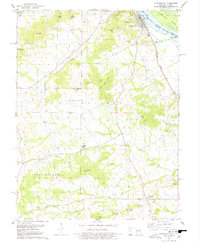
Editions of this 1978 Clarksville Map
2 editions found
Other maps of this area

1890 · Louisiana
USGS Topo · 1:125,000

1930 · Nebo
USGS Topo · 1:62,500

1934 · Nebo
USGS Topo · 1:48,000

1934 · Elsberry
USGS Topo · 1:48,000

1937 · Silex
USGS Topo · 1:62,500

1937 · Bowling Green
USGS Topo · 1:62,500

1939 · Silex
USGS Topo · 1:48,000

1940 · Bowling Green
USGS Topo · 1:62,500

1942 · Nebo
USGS Topo · 1:62,500

1942 · Elsberry
USGS Topo · 1:62,500