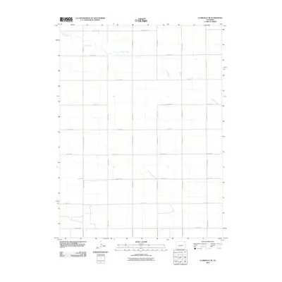
2010 Map of Clarkville NE
USGS Topo · Published 2010About this map
Patent Creek meanders through the high plains of northeastern Colorado in this 2010 topographic record. The landscape is defined by a rigid section-line road network characteristic of the Great Plains' agricultural development, dominated by long stretches of gravel and improved surfaces like County Rd-10 and County Road S. While the terrain is relatively uniform, the map reveals subtle drainage patterns and depressions that influence local land use. Local history researchers can use this survey to pinpoint rural property boundaries and access points along thoroughfares such as County Rd-57 and County Road P. The lack of dense urbanization underscores the region's dedication to large-scale ranching or dryland farming at the start of the twenty-first century.
Find a feature on this map
24 named features on this map. Tap any name to fly to it.
Don’t see what you’re looking for? This feature index may not catch every label — zoom into the map to look around manually.
Map Details
Editions of this 2010 Clarkville NE Map
This is the sole edition of this map. No revisions or reprints were ever made.
Other maps of this area

1954 · Sterling
USGS Topo · 1:250,000

1958 · Sterling
USGS Topo · 1:250,000

1971 · Paoli
USGS Topo · 1:24,000

1971 · Fiddler Peak
USGS Topo · 1:24,000

1971 · Clarkville NE
USGS Topo · 1:24,000

1971 · Haxtun SE
USGS Topo · 1:24,000

1971 · Clarkville SE
USGS Topo · 1:24,000

1971 · Old Baldy
USGS Topo · 1:24,000

1972 · Clarkville
USGS Topo · 1:24,000

1972 · Rockland
USGS Topo · 1:24,000