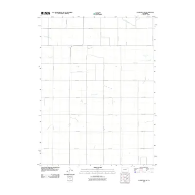
2010 Map of Clarkville SW
USGS Topo · Published 2010About this map
Surveyor Creek and Rock Creek wind through this high plains landscape in eastern Yuma County, illustrating the delicate hydrology of the region. The map reveals a highly structured agricultural grid, defined by a network of corridors such as County Rd-55 and County Road G. This meticulous sectioning of the land reflects a century of homesteading and modern ranching practices where water sources like Coyote Creek and Red Willow Creek remain the primary geographical anchors for land division. For those studying the evolution of Colorado's rural infrastructure, the placement of these section roads relative to the intermittent waterways provides a clear record of how the prairie was organized for large-scale cultivation and livestock.
Find a feature on this map
20 named features on this map. Tap any name to fly to it.
Don’t see what you’re looking for? This feature index may not catch every label — zoom into the map to look around manually.
Map Details
Editions of this 2010 Clarkville SW Map
This is the sole edition of this map. No revisions or reprints were ever made.
Other maps of this area

1954 · Sterling
USGS Topo · 1:250,000

1958 · Sterling
USGS Topo · 1:250,000

1971 · Clarkville NE
USGS Topo · 1:24,000

1971 · Yuma NE
USGS Topo · 1:24,000

1971 · Clarkville SE
USGS Topo · 1:24,000

1972 · Clarkville
USGS Topo · 1:24,000

1972 · New Haven
USGS Topo · 1:24,000

1972 · Hyde
USGS Topo · 1:24,000

1972 · Lone Star
USGS Topo · 1:24,000

1972 · Clarkville SW
USGS Topo · 1:24,000