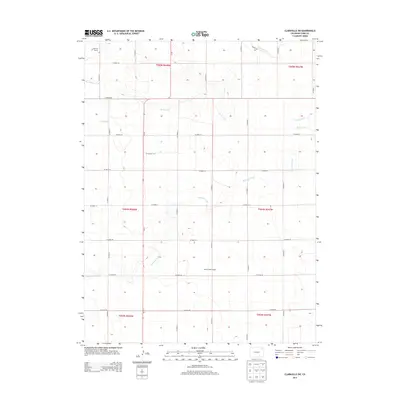
2013 Map of Clarkville SW
USGS Topo · Published 2013About this map
Blach Brothers Ranch and Flattops Ranch anchor this portion of Yuma County, illustrating the enduring agricultural and ranching footprint of the Colorado high plains. The landscape is defined by a grid of well-organized local thoroughfares, including CO Road 59 and CO Road 52, which navigate a terrain carved by intermittent drainage systems. These waterways, such as Red Willow Creek, Rock Creek, and the winding path of Surveyor Creek, dictate the placement of local infrastructure and section boundaries. The map reflects a 21st-century view of traditional land divisions, where the Public Land Survey System continues to organize the expansive prairie into distinct townships and ranges. This specific quadrant highlights the convergence of several major county roads that serve as the primary conduits for movement between these remote agricultural holdings.
Find a feature on this map
30 named features on this map. Tap any name to fly to it.
Don’t see what you’re looking for? This feature index may not catch every label — zoom into the map to look around manually.
Map Details
Editions of this 2013 Clarkville SW Map
This is the sole edition of this map. No revisions or reprints were ever made.
Other maps of this area

1954 · Sterling
USGS Topo · 1:250,000

1958 · Sterling
USGS Topo · 1:250,000

1971 · Clarkville NE
USGS Topo · 1:24,000

1971 · Yuma NE
USGS Topo · 1:24,000

1971 · Clarkville SE
USGS Topo · 1:24,000

1972 · Clarkville
USGS Topo · 1:24,000

1972 · New Haven
USGS Topo · 1:24,000

1972 · Hyde
USGS Topo · 1:24,000

1972 · Lone Star
USGS Topo · 1:24,000

1972 · Clarkville SW
USGS Topo · 1:24,000