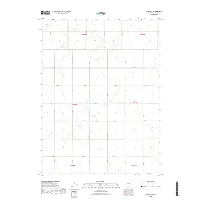
2019 Map of Clarkville SW
USGS Topo · Published 2019About this map
Surveyor Creek winds through this rural landscape in Yuma County, following the natural drainage patterns of the high plains. The terrain is defined by a series of intermittent streams, including Red Willow Creek and Rock Creek, which cut subtle valleys across the expansive agricultural blocks. This 2019 survey illustrates the rigid, rectangular grid of the Public Land Survey System, where section lines are almost universally maintained by a network of county roads like County Road 54 and County Road 50. The map captures the intersection of several townships, including t4n r48w and t5n r47w, showing how contemporary land management continues to follow the historical boundaries established by early western surveyors. Small depressions and wetlands scattered throughout the sections offer a detailed look at the local hydrology in this corner of Colorado.
Find a feature on this map
18 named features on this map. Tap any name to fly to it.
Don’t see what you’re looking for? This feature index may not catch every label — zoom into the map to look around manually.
Map Details
Editions of this 2019 Clarkville SW Map
This is the sole edition of this map. No revisions or reprints were ever made.
Other maps of this area

1954 · Sterling
USGS Topo · 1:250,000

1958 · Sterling
USGS Topo · 1:250,000

1971 · Clarkville NE
USGS Topo · 1:24,000

1971 · Yuma NE
USGS Topo · 1:24,000

1971 · Clarkville SE
USGS Topo · 1:24,000

1972 · Clarkville
USGS Topo · 1:24,000

1972 · New Haven
USGS Topo · 1:24,000

1972 · Hyde
USGS Topo · 1:24,000

1972 · Lone Star
USGS Topo · 1:24,000

1972 · Clarkville SW
USGS Topo · 1:24,000