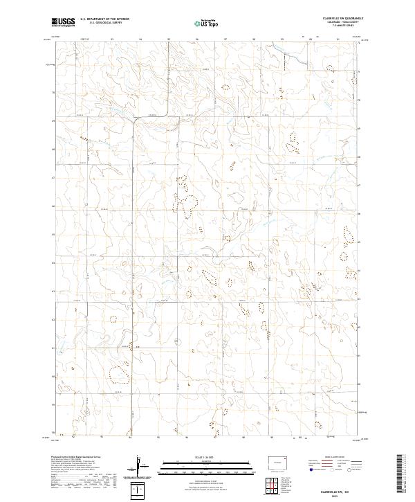
2022 Map of Clarkville SW
USGS Topo · Published 2022About this map
Surveyor Cr and Rock Cr carve a complex drainage pattern across this corner of Yuma County, defining the agricultural landscape of northeastern Colorado. This 2022 survey illustrates the geometric precision of the Public Land Survey System, where section lines dictate the placement of local thoroughfares like Co RD 54 and Co RD G. The map shows a region shaped by its hydrology, where seasonal watercourses such as Red Willow Cr and Coyote Cr wind through open plains and prairie terrain. Researchers interested in contemporary land use will find a network of county roads that maintains the historical township and range structure established decades prior, providing a detailed record of the rural infrastructure in T5N R48W and surrounding townships.
Find a feature on this map
25 named features on this map. Tap any name to fly to it.
Don’t see what you’re looking for? This feature index may not catch every label — zoom into the map to look around manually.
Map Details
Editions of this 2022 Clarkville SW Map
This is the sole edition of this map. No revisions or reprints were ever made.
Other maps of this area

1954 · Sterling
USGS Topo · 1:250,000

1958 · Sterling
USGS Topo · 1:250,000

1971 · Clarkville NE
USGS Topo · 1:24,000

1971 · Yuma NE
USGS Topo · 1:24,000

1971 · Clarkville SE
USGS Topo · 1:24,000

1972 · Clarkville
USGS Topo · 1:24,000

1972 · New Haven
USGS Topo · 1:24,000

1972 · Hyde
USGS Topo · 1:24,000

1972 · Lone Star
USGS Topo · 1:24,000

1972 · Clarkville SW
USGS Topo · 1:24,000