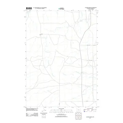
2012 Map of Clausen Ranch
USGS Topo · Published 2012About this map
Clausen Ranch and Robinson Ranch anchor this landscape in Converse County, Wyoming, illustrating the enduring cattle-ranching heritage of the high plains. The distribution of remote rural infrastructure is evident through the presence of the Clausen School and Midway School, which served the dispersed ranching community. The drainage network is dominated by the seasonal flows of Lightning Cr and Little Lightning Cr, which wind through the terrain toward the Number 1 Reservoir.
Find a feature on this map
12 named features on this map. Tap any name to fly to it.
Don’t see what you’re looking for? This feature index may not catch every label — zoom into the map to look around manually.
Map Details
Editions of this 2012 Clausen Ranch Map
This is the sole edition of this map. No revisions or reprints were ever made.
Other maps of this area

1949 · Sundquist Ranch
USGS Topo · 1:24,000

1949 · Douglas
USGS Topo · 1:24,000

1949 · Clausen Ranch
USGS Topo · 1:24,000

1949 · Antelope Creek
USGS Topo · 1:24,000

1950 · Clausen Ranch
USGS Topo · 1:24,000

1950 · Douglas
USGS Topo · 1:24,000
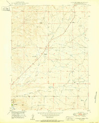
1950 · Antelope Creek
USGS Topo · 1:24,000
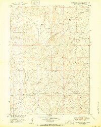
1950 · Sundquist Ranch
USGS Topo · 1:24,000

1954 · Torrington
USGS Topo · 1:250,000

1955 · Newcastle
USGS Topo · 1:250,000