
1949 Map of Clausen Ranch
USGS Topo · Published 1977About this map
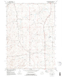
Clausen Ranch and Robinson Ranch anchor this Converse County landscape, reflecting the ranching heritage of the Missouri River Basin during the late 1940s. The map captures a transition in rural education, noting both Clausen School and Midway School as abandoned sites even then. Water management is central to the area's utility, evidenced by several Windmill sites and an Artesian Well positioned to support livestock and habitation across the undulating terrain.
Find a feature on this map
14 named features on this map. Tap any name to fly to it.
Don’t see what you’re looking for? This feature index may not catch every label — zoom into the map to look around manually.
Map Details
Editions of this 1949 Clausen Ranch Map
2 editions found
Other maps of this area

1949 · Sundquist Ranch
USGS Topo · 1:24,000

1949 · Douglas
USGS Topo · 1:24,000

1949 · Antelope Creek
USGS Topo · 1:24,000

1950 · Clausen Ranch
USGS Topo · 1:24,000

1950 · Douglas
USGS Topo · 1:24,000
1950 · Antelope Creek
USGS Topo · 1:24,000
1950 · Sundquist Ranch
USGS Topo · 1:24,000

1954 · Torrington
USGS Topo · 1:250,000

1955 · Newcastle
USGS Topo · 1:250,000

1958 · Torrington
USGS Topo · 1:250,000