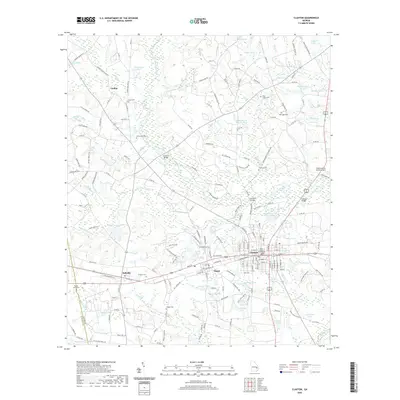
2020 Map of Claxton
USGS Topo · Published 2020About this map
The Canoochee River winds through the heart of Evans County, Georgia, defining a landscape marked by numerous oxbow ponds and river crossings like Hendrix Bridge and Brewton Bridge. This modern topographic study shows the central hub of Claxton and neighboring Hagan, where the Georgia Central Railroad parallels the main east-west corridor through town. The area’s agricultural and rural heritage is evident in the dense network of family-named cemeteries and landmarks, including the Sikes Chapel Cem and Eason Cem. At the center of the county seat stands the Evans County Courthouse, surrounded by a grid that has expanded to include modern infrastructure like the Claxton-Evans County Airport. The surrounding terrain is saturated with water bodies such as Rogers Lake and Varnadoe Lake, suggesting the importance of these wetlands to the local geography.
Find a feature on this map
188 named features on this map. Tap any name to fly to it.
Don’t see what you’re looking for? This feature index may not catch every label — zoom into the map to look around manually.
Map Details
Editions of this 2020 Claxton Map
This is the sole edition of this map. No revisions or reprints were ever made.
Other maps of this area

1919 · Claxton
USGS Topo · 1:62,500

1920 · Statesboro
USGS Topo · 1:62,500

1943 · Statesboro
USGS Topo · 1:62,500

1944 · Claxton
USGS Topo · 1:62,500

1947 · Savannah
USGS Topo · 1:250,000

1948 · Savannah
USGS Topo · 1:250,000

1950 · Claxton
USGS Topo · 1:62,500

1957 · Macon
USGS Topo · 1:250,000

1957 · Savannah
USGS Topo · 1:250,000

1958 · Macon
USGS Topo · 1:250,000