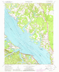
1965 Map of Clay Bank
USGS Topo · Published 1980About this map
The York River dominates this mid-century landscape, separating the military installations of the Virginia Peninsula from the rural reaches of Gloucester Co. To the south, the US Naval Weapons Station and US Naval Supply Center Cheatham Annex occupy large tracts near Colonial National Historical Park, where the Colonial Parkway winds toward Sandy Point. Across the water, the settlement pattern follows the George Washington Memorial Highway, connecting communities like White Marsh, Ordinary, and Hayes. This transition era shows the development of local infrastructure, from the Gloucester High School to the Drive-in Theater near Wicomico. The map also preserves numerous small parish sites and family landmarks, including Abingdon Ch Cem and the landings at Oliver Landing and Carmines Landing, reflecting the area's deep ties to both the river and its colonial-era foundations.
Find a feature on this map
82 named features on this map. Tap any name to fly to it.
Don’t see what you’re looking for? This feature index may not catch every label — zoom into the map to look around manually.
Map Details
Editions of this 1965 Clay Bank Map
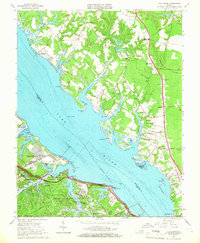
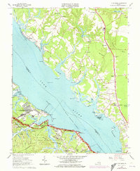
3 editions found
Other maps of this area

1906 · Williamsburg
USGS Topo · 1:62,500

1907 · Yorktown
USGS Topo · 1:62,500

1907 · Hampton
USGS Topo · 1:62,500

1916 · Mathews
USGS Topo · 1:62,500

1917 · Mathews
USGS Topo · 1:62,500

1943 · Yorktown
USGS Topo · 1:62,500

1943 · Richmond
USGS Topo · 1:250,000

1944 · Yorktown
USGS Topo · 1:24,000

1944 · Harris Grove
USGS Topo · 1:24,000

1948 · Ware Neck
USGS Topo · 1:24,000