
1964 Map of Clay Center NW
USGS Topo · Published 1965About this map
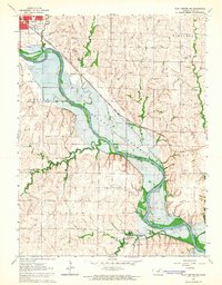
The Republican River carves a winding path through the heart of Clay County, defining the agricultural landscape of Sherman and Blaine townships in the mid-1960s. The settlement of Morganville serves as a local hub along the Chicago Rock Island and Pacific railroad, which parallels the river valley. To the southeast, the outskirts of Clay Center reveal the civic and recreational infrastructure of the era, including the Clay Center Municipal Airport, a Drive-in Theater, and the county Courthouse.
Find a feature on this map
25 named features on this map. Tap any name to fly to it.
Don’t see what you’re looking for? This feature index may not catch every label — zoom into the map to look around manually.
Map Details
Editions of this 1964 Clay Center NW Map
This is the sole edition of this map. No revisions or reprints were ever made.
Other maps of this area

1891 · Clay Center
USGS Topo · 1:125,000

1893 · Washington
USGS Topo · 1:125,000

1955 · Manhattan
USGS Topo · 1:250,000

1956 · Manhattan
USGS Topo · 1:250,000

1957 · Manhattan
USGS Topo · 1:250,000

1964 · Clay Center SW
USGS Topo · 1:24,000
1964 · Clay Center SE
USGS Topo · 1:24,000
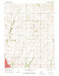
1964 · Clay Center NE
USGS Topo · 1:24,000

1964 · Idana
USGS Topo · 1:24,000

1964 · Miltonvale NE
USGS Topo · 1:24,000