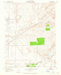
1953 Map of Clay
USGS Topo · Published 1965About this map
Cosumnes river plains and the rolling grasslands of southern Sacramento County define this 1950s landscape, where small agricultural settlements grew alongside historic transit routes. The small town of Clay and the nearby Hadselville sit along the Southern Pacific tracks, serving as centers for the surrounding ranching and farming operations. To the west, the community of Herald is anchored by the Herald California Traction Road, reflecting the importance of the early interurban rail corridor that once linked the Central Valley.
Find a feature on this map
43 named features on this map. Tap any name to fly to it.
Don’t see what you’re looking for? This feature index may not catch every label — zoom into the map to look around manually.
Map Details
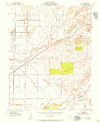
Editions of this 1953 Clay Map
2 editions found
Other maps of this area

1894 · Lodi
USGS Topo · 1:125,000

1908 · Lockeford
USGS Topo · 1:31,680

1909 · Elk Grove
USGS Topo · 1:31,680

1909 · Carbondale
USGS Topo · 1:31,680

1909 · Clay
USGS Topo · 1:31,680

1909 · Cosumnes
USGS Topo · 1:31,680

1909 · Goose Creek
USGS Topo · 1:31,680

1909 · Clements
USGS Topo · 1:31,680

1910 · Woodbridge
USGS Topo · 1:31,680

1910 · Galt
USGS Topo · 1:31,680