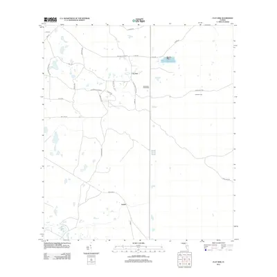
2012 Map of Clay Sink
USGS Topo · Published 2012About this map
Clay Sink and the small settlement of Sturkey anchor this section of central Florida, characterized by an intricate network of grade roads and local tracks. The landscape is defined by the dense vegetation of Raulerson Hammock and a scattering of unnamed wetlands and small water bodies. Transportation through this rural area relies on a grid of specialized routes, including the Richloam Clay Sink Rd and the Lacoochee Clay Sink Rd, which suggest a history tied to local resource extraction or land management.
Find a feature on this map
29 named features on this map. Tap any name to fly to it.
Don’t see what you’re looking for? This feature index may not catch every label — zoom into the map to look around manually.
Map Details
Editions of this 2012 Clay Sink Map
This is the sole edition of this map. No revisions or reprints were ever made.
Other maps of this area

1955 · Plant City
USGS Topo · 1:250,000

1955 · Orlando
USGS Topo · 1:250,000

1957 · Orlando
USGS Topo · 1:250,000

1958 · Orlando
USGS Topo · 1:250,000

1958 · Plant City
USGS Topo · 1:250,000

1958 · Webster
USGS Topo · 1:24,000

1958 · Saint Catherine
USGS Topo · 1:24,000

1959 · Plant City
USGS Topo · 1:250,000

1960 · Lacoochee
USGS Topo · 1:24,000

1960 · Branchborough
USGS Topo · 1:24,000