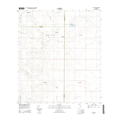
2015 Map of Clay Sink
USGS Topo · Published 2015About this map
The low-lying wetlands of Clay Sink define this section of the Green Swamp, where the borders of Hernando, Pasco, and Sumter counties converge. Historically dominated by cypress swamps and pine flatwoods, the landscape is crisscrossed by a network of logging and resource roads such as Main Line Rd and Lacoochee Claysink Rd, reflecting the area's timber and turpentine heritage. The settlement of Richloam sits in the northwest, while the southern reaches near Sturkey show the typical scattered homesteads of rural Florida.
Find a feature on this map
31 named features on this map. Tap any name to fly to it.
Don’t see what you’re looking for? This feature index may not catch every label — zoom into the map to look around manually.
Map Details
Editions of this 2015 Clay Sink Map
This is the sole edition of this map. No revisions or reprints were ever made.
Other maps of this area

1955 · Plant City
USGS Topo · 1:250,000

1955 · Orlando
USGS Topo · 1:250,000

1957 · Orlando
USGS Topo · 1:250,000

1958 · Orlando
USGS Topo · 1:250,000

1958 · Plant City
USGS Topo · 1:250,000

1958 · Webster
USGS Topo · 1:24,000

1958 · Saint Catherine
USGS Topo · 1:24,000

1959 · Plant City
USGS Topo · 1:250,000

1960 · Lacoochee
USGS Topo · 1:24,000

1960 · Branchborough
USGS Topo · 1:24,000