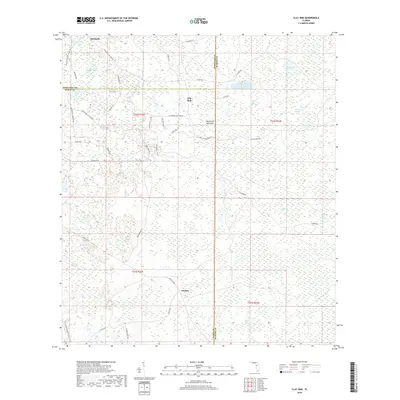
2018 Map of Clay Sink
USGS Topo · Published 2018About this map
The Richloam area and the rural settlements of Sturkey and Clay Sink define this landscape along the tri-county borders of Pasco, Hernando, and Sumter. This part of the Florida interior is characterized by an extensive network of wetlands, including Yankee Swamp, Wildcat Swamp, and the massive Green Pond Swamp. The presence of the Florida National Scenic Trail through the western section highlights the region's preservation as a corridor for nature and recreation.
Find a feature on this map
51 named features on this map. Tap any name to fly to it.
Don’t see what you’re looking for? This feature index may not catch every label — zoom into the map to look around manually.
Map Details
Editions of this 2018 Clay Sink Map
This is the sole edition of this map. No revisions or reprints were ever made.
Other maps of this area

1955 · Plant City
USGS Topo · 1:250,000

1955 · Orlando
USGS Topo · 1:250,000

1957 · Orlando
USGS Topo · 1:250,000

1958 · Orlando
USGS Topo · 1:250,000

1958 · Plant City
USGS Topo · 1:250,000

1958 · Webster
USGS Topo · 1:24,000

1958 · Saint Catherine
USGS Topo · 1:24,000

1959 · Plant City
USGS Topo · 1:250,000

1960 · Lacoochee
USGS Topo · 1:24,000

1960 · Branchborough
USGS Topo · 1:24,000