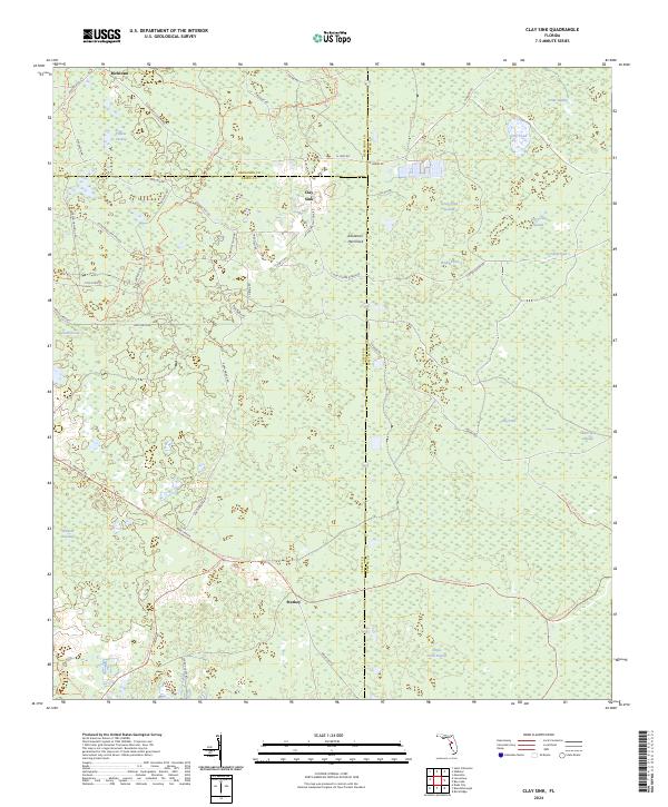
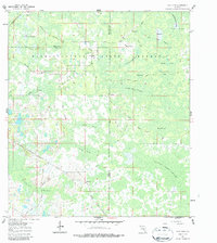
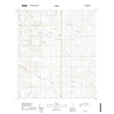
2024 Map of Clay Sink
USGS Topo · Published 2024About this map
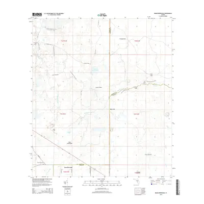
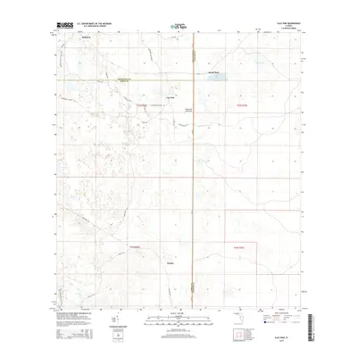
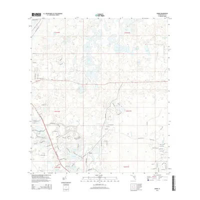
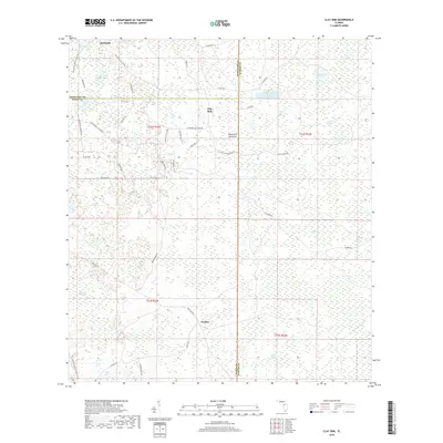
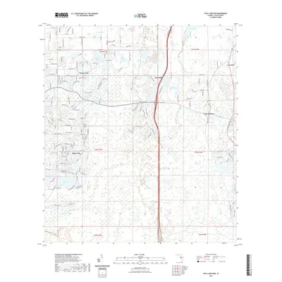
Richloam and the scattered settlement of Clay Sink anchor this portion of the Florida interior, where the boundaries of Pasco, Hernando, and Sumter counties converge. The landscape is defined by the hydrologic network of the Withlacoochee River and a vast system of wetlands, including Yankee Swamp, Green Pond Swamp, and Hog Pond Swamp. These features illustrate the complex water drainage patterns characteristic of the Withlacoochee State Forest.
Find a feature on this map
60 named features on this map. Tap any name to fly to it.
Don’t see what you’re looking for? This feature index may not catch every label — zoom into the map to look around manually.
Map Details
Editions of this 2024 Clay Sink Map
This is the sole edition of this map. No revisions or reprints were ever made.
Historical Maps of Sturkey Through Time
30 maps found
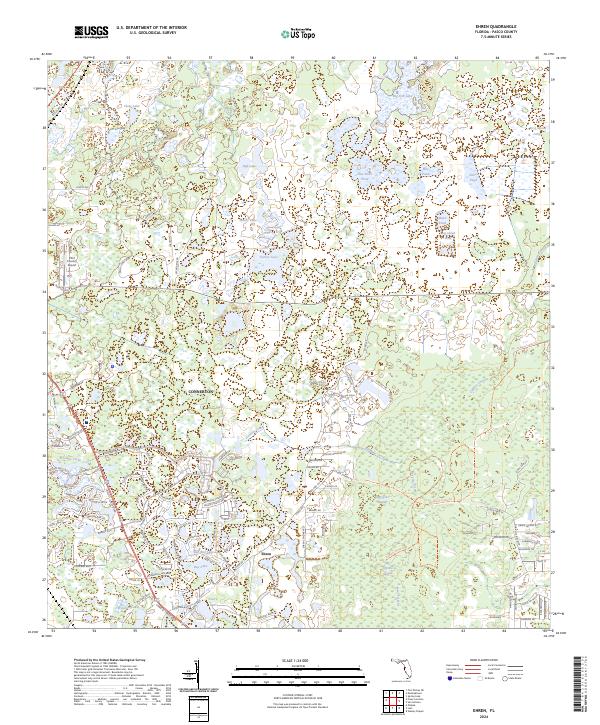
1954 Ehren
Pasco County, FL
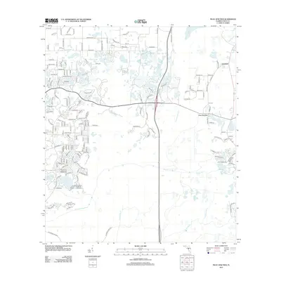
1954 Fivay Junction
Pasco County, FL
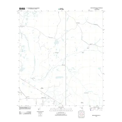
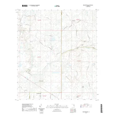
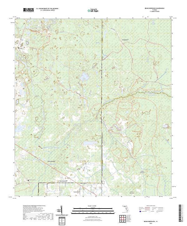
1960 Branchborough
Pasco County, FL
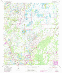
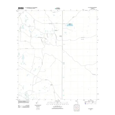
1960 Clay Sink
Pasco County, FL
2012 Branchborough
Pasco County, FL
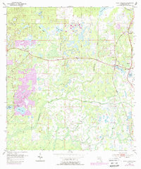
2012 Clay Sink
Pasco County, FL

2012 Ehren
Pasco County, FL
2012 Fivay Junction
Pasco County, FL
2012 Port Richey OE W
Pasco County, FL
2015 Branchborough
Pasco County, FL
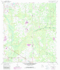
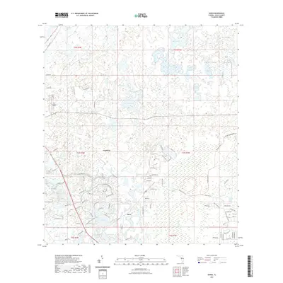
2015 Clay Sink
Pasco County, FL
2015 Ehren
Pasco County, FL

2015 Fivay Junction
Pasco County, FL
2015 Port Richey OE W
Pasco County, FL
2018 Branchborough
Pasco County, FL
2018 Clay Sink
Pasco County, FL

2018 Ehren
Pasco County, FL
2018 Fivay Junction
Pasco County, FL
2018 Port Richey OE W
Pasco County, FL
2021 Branchborough
Pasco County, FL
2021 Clay Sink
Pasco County, FL
2021 Ehren
Pasco County, FL
2021 Fivay Junction
Pasco County, FL
2021 Port Richey OE W
Pasco County, FL
2024 Branchborough
Pasco County, FL
2024 Clay Sink
Pasco County, FL
2024 Ehren
Pasco County, FL
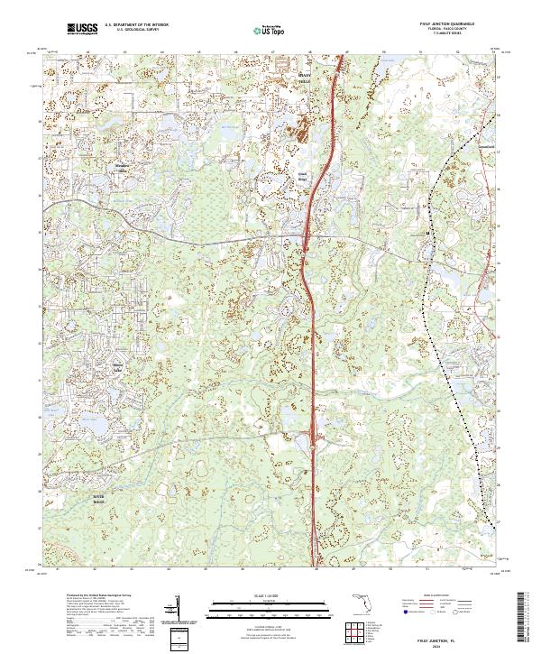
2024 Fivay Junction
Pasco County, FL
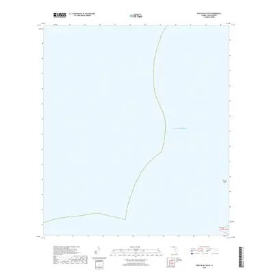
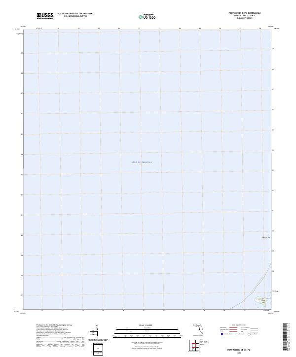
2024 Port Richey OE W
Pasco County, FL
2025 Port Richey OE W
Pasco County, FL