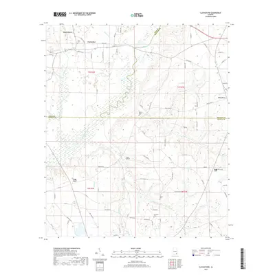
2018 Map of Clayhatchee
USGS Topo · Published 2018About this map
The Choctawhatchee River winds through the heart of the wiregrass region, serving as a geographic anchor for the rural communities of Clayhatchee and Daleville. This 2018 survey reveals a landscape defined by its creek networks and legacy family lands, where traditional place names like Posey Hollow and High Bluff persist alongside modern transit corridors. Genealogists will find significant value in the distribution of community landmarks, including Shiloh Cem and Macedonia Cem, which mark the historical centers of local life. The map captures the meeting point of three counties—Dale, Houston, and Geneva—showing how the terrain transitions from the river bottomlands to the higher ground near Wicksburg and Bald Hill. Small tributaries like Thomley Mill Cr and Peacock Br suggest the early mill and agricultural economy that shaped the settlement patterns of the area.
Find a feature on this map
94 named features on this map. Tap any name to fly to it.
Don’t see what you’re looking for? This feature index may not catch every label — zoom into the map to look around manually.
Map Details
Editions of this 2018 Clayhatchee Map
This is the sole edition of this map. No revisions or reprints were ever made.
Other maps of this area

1942 · Enterprise
USGS Topo · 1:125,000

1948 · Ozark
USGS Topo · 1:62,500

1950 · Ozark
USGS Topo · 1:62,500

1950 · Enterprise
USGS Topo · 1:62,500

1953 · Dothan
USGS Topo · 1:250,000

1954 · Dothan
USGS Topo · 1:250,000

1955 · Dothan
USGS Topo · 1:250,000

1957 · Malvern
USGS Topo · 1:24,000

1957 · Geneva
USGS Topo · 1:62,500

1957 · Hartford
USGS Topo · 1:62,500