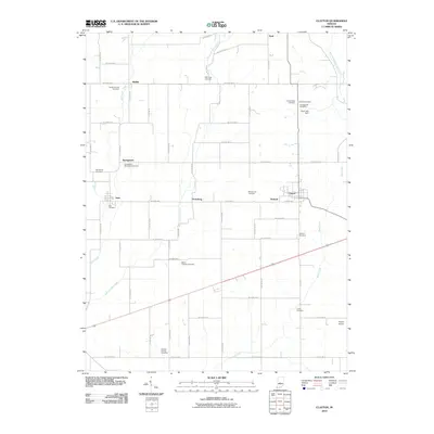
2010 Map of Clayton
USGS Topo · Published 2010About this map
Clayton and Amo anchor this rural landscape in Hendricks County, where a dense network of country roads connects several small settlements and family burial grounds. The territory is defined by the winding paths of Mill Creek and Mud Creek, which drain the agricultural plains south of Nash. For genealogists, the map is particularly detailed regarding local history, identifying numerous small cemeteries such as the Snoddy Family Cemetery and Hadley Friends Cemetery near Hadley.
Find a feature on this map
44 named features on this map. Tap any name to fly to it.
Don’t see what you’re looking for? This feature index may not catch every label — zoom into the map to look around manually.
Map Details
Editions of this 2010 Clayton Map
This is the sole edition of this map. No revisions or reprints were ever made.
Other maps of this area

1953 · Clayton
USGS Topo · 1:24,000

1953 · Danville
USGS Topo · 1:24,000

1953 · Brownsburg
USGS Topo · 1:24,000

1953 · Plainfield
USGS Topo · 1:24,000

1953 · Indianapolis
USGS Topo · 1:250,000

1955 · Hall
USGS Topo · 1:24,000

1955 · Mooresville West
USGS Topo · 1:24,000

1956 · Indianapolis
USGS Topo · 1:250,000

1956 · Eminence
USGS Topo · 1:24,000

1957 · Indianapolis
USGS Topo · 1:250,000